


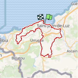


18,8 km | 27 km-effort


Utilisateur


Application GPS de randonnée GRATUITE
 SityTrail
IGN / Instituts géographiques
SityTrail World
Le monde est à vous
Randonnée V.T.T. de 36 km à découvrir à Nouvelle-Aquitaine, Pyrénées-Atlantiques, Ciboure. Cette randonnée est proposée par tracegps.
Départ de Ciboure en longeant la baie sur route D912 puis le long de la Nivelle, suivre le tracé. Bonne ballade Michel


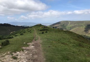
Marche

Marche

V.T.T.
V.T.T.

Marche
Marche

Marche

Marche
Marche