


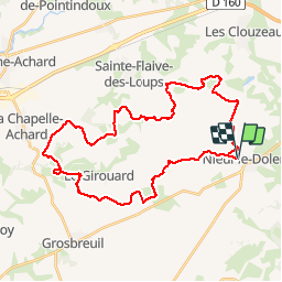

22 km | 25 km-effort


Utilisateur


Application GPS de randonnée GRATUITE
 SityTrail
IGN / Instituts géographiques
SityTrail World
Le monde est à vous
Randonnée V.T.T. de 37 km à découvrir à Pays de la Loire, Vendée, Nieul-le-Dolent. Cette randonnée est proposée par tracegps.
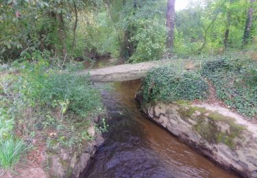
Circuit perso. Beaucoup de bonheur. Attention, quelques passages de gué très humides (passerelles possibles). Essayez le !


Marche
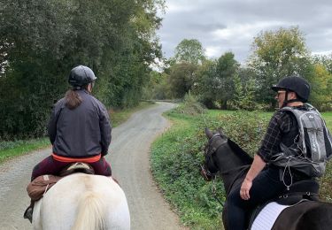
Randonnée équestre

Marche

A pied

V.T.T.
Marche
Marche
A pied

