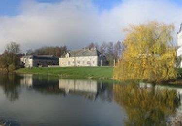
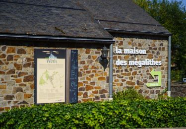
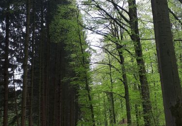
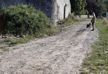
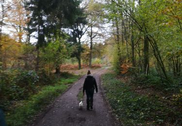
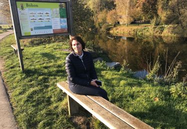
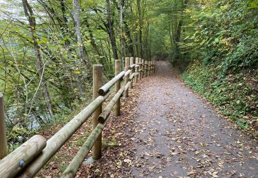
Randonnée V.T.T. Clavier - CLAVIER - Cour des Moines - Photo

CLAVIER - Cour des Moines

 tourcondroz
tourcondroz

Utilisateur

© OpenStreetMap contributors
Longueur
Longueur
8,4 km
Altitude max
Altitude max
311 m
Dénivelé positif
Dénivelé positif
154 m
Km-Effort
Km-Effort  
10,4 km
Altitude min
Altitude min
211 m
Dénivelé négatif
Dénivelé négatif
154 m
Boucle
Boucle
Oui
Date de création :
2019-04-01 13:27:23.312
Dernière modification :
2019-04-01 13:27:23.514

(0 Avis)

V.T.T.
V.T.T.
1h30
Difficulté : Moyen

Scannez ce code QR pour ouvrir la randonnée dans l'application SityTrail

Application GPS de randonnée GRATUITE

Logo SityTrail SityTrail

IGN / Instituts géographiques

Télécharger SityTrail sur l'App Store Télécharger SityTrail sur Google Play

Logo SityTrail SityTrail World

Le monde est à vous

Télécharger SityTrail sur l'App Store Télécharger SityTrail sur Google Play Télécharger SityTrail sur Huawei AppGallery

À propos

Randonnée V.T.T. de 8,4 km à découvrir à Wallonie, Liège, Clavier. Cette randonnée est proposée par tourcondroz.

Description

Au départ de l'église d'Ocquier, cette promenade permet de découvrir Ocquier et ses environs.
Profil altimétrique

Photos

Points d'intérêt

Point d'intérêt Clavier - Ocquier - Photo
tourcondroz
CLAVIER 
Point d'intérêt Clavier -  - Photo
tourcondroz
CLAVIER 
Point d'intérêt Clavier - Amas - Photo
tourcondroz
CLAVIER 
Point d'intérêt Clavier - Ferme des Moines - Photo
tourcondroz
Point d'intérêt Clavier - Moulin d'Ocquier - Photo
tourcondroz

Localisation

Pays :
Belgique
Région :
Wallonie
Département/Province :
Liège
Commune :
Clavier
Localité :
Ocquier
Départ:(Dec)
Départ:(UTM)
670261 ; 5585439 (31U) N.

Randonnées à proximité

Randonnée Marche Clavier - CLAVIER - Vicus Gallo Romain - Photo
Marche
tourcondroz

Marche

Facile
(7)
Clavier, Wallonie, Liège, Belgique
5,2 km | 5,8 km-effort
1h 48min
Oui
Randonnée Vélo Durbuy - À vélo, autour de Durbuy - Photo
Vélo
PRO

Vélo

Très facile
(2)
Durbuy, Wallonie, Luxembourg, Belgique
39 km | 45 km-effort
Inconnu
Oui
Randonnée Marche Durbuy - Autour de Tohogne (Durbuy) - Photo
Marche
GUIDE
Michel1963

Marche

Moyen
(1)
Durbuy, Wallonie, Luxembourg, Belgique
15,7 km | 19,7 km-effort
3h 42min
Oui
Randonnée Marche Durbuy - Marche ADEPS Septon 2022 - 20KM - Photo
Marche
GUIDE
Michel1963

Marche

Moyen
(1)
Durbuy, Wallonie, Luxembourg, Belgique
20 km | 25 km-effort
3h 55min
Oui
Randonnée Marche Ouffet - ouffet fermes ac + - Photo
Marche
colsonandre

Marche

Moyen
(2)
Ouffet, Wallonie, Liège, Belgique
8,6 km | 10,7 km-effort
2h 41min
Oui
Randonnée Marche Durbuy - vossenbos - Photo
Marche
Bart Vermeulen

Marche

Très facile
(2)
Durbuy, Wallonie, Luxembourg, Belgique
6,2 km | 7,3 km-effort
1h 59min
Oui
Randonnée Marche Durbuy - 20181104 Durbuy Bohon - Photo
Marche
NanardPet

Marche

Facile
(2)
Durbuy, Wallonie, Luxembourg, Belgique
8 km | 10,1 km-effort
2h 10min
Oui
Randonnée A pied Somme-Leuze - La Plaine sapin - Photo
A pied
francineposkin

A pied

Facile
(1)
Somme-Leuze, Wallonie, Namur, Belgique
5,9 km | 7,2 km-effort
1h 21min
Oui
Randonnée Marche Durbuy - Oneux ac - Photo
Marche
colsonandre

Marche

Moyen
(1)
Durbuy, Wallonie, Luxembourg, Belgique
8,7 km | 11 km-effort
2h 21min
Oui


Fermer
Mes abonnements