


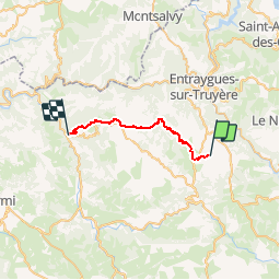


22 km | 32 km-effort


Utilisateur


Application GPS de randonnée GRATUITE
 SityTrail
IGN / Instituts géographiques
SityTrail World
Le monde est à vous
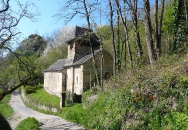
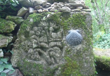
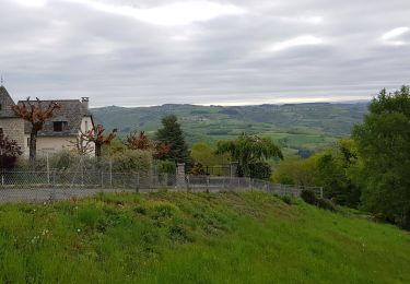
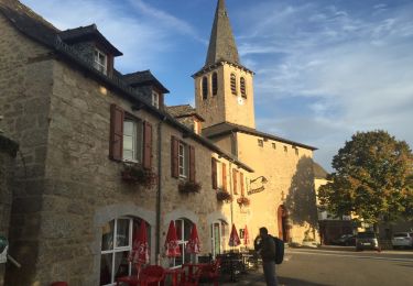
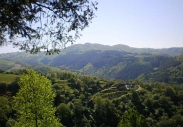
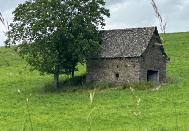
Randonnée Marche de 21 km à découvrir à Occitanie, Aveyron, Campuac. Cette randonnée est proposée par matb.
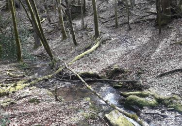
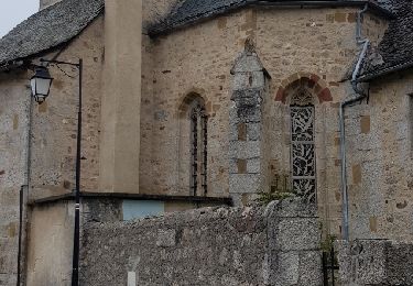
Marche
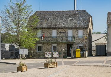
A pied
A pied
Marche
Marche
Marche
Marche

sport