


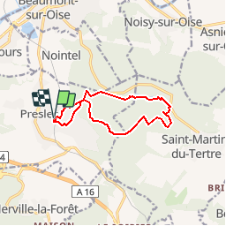

9 km | 10,4 km-effort


Utilisateur


Application GPS de randonnée GRATUITE
 SityTrail
IGN / Instituts géographiques
SityTrail World
Le monde est à vous
Randonnée Marche de 10,4 km à découvrir à Île-de-France, Val-d'Oise, Presles. Cette randonnée est proposée par tracegps.
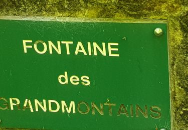
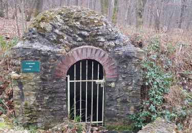
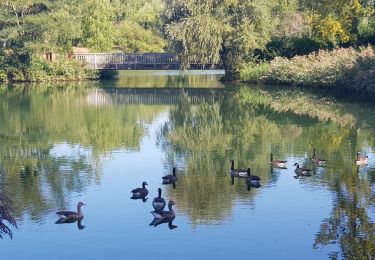
Ce circuit permet de découvrir les Étangs de la Forêt de Carnelle, et de profiter du relief de cette forêt. Pour plus de précision, consulter la carte 2313OT ou le site Géoportail.
Marche

Marche
Marche
Marche
Marche
Marche
Marche
Marche
Marche
Excellent
Excellent guide.