


4,9 km | 5,3 km-effort

Utilisateur


Application GPS de randonnée GRATUITE
 SityTrail
IGN / Instituts géographiques
SityTrail World
Le monde est à vous
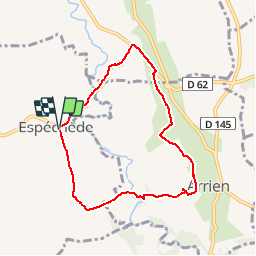
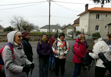
Randonnée Marche de 7,4 km à découvrir à Nouvelle-Aquitaine, Pyrénées-Atlantiques, Espéchède. Cette randonnée est proposée par tracegps.
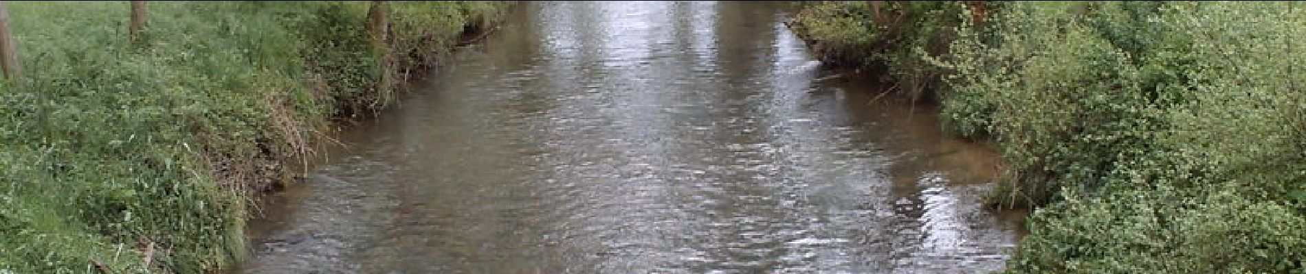
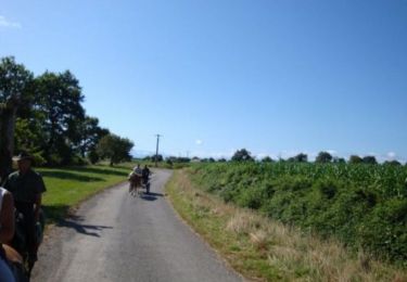
Ce circuit facile vous permet de cheminer de part et d'autre du Gabas, un affluent de l'Adour, près de sa source. La vallée est large avec une variété de paysages : prés, champs, bois et le plateau d'Arrien qui vous offre une vue "grand angle" de la chaîne des Pyrénées. La boucle débute à Espechède à proximité de l'église.


sport
A pied
Marche
Marche

Marche
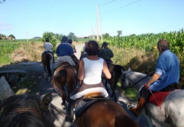
Cheval

V.T.T.

Marche
Cheval
Belle ballade pas du tout signalée depuis la mairie vraiement dommage En fait du parking mairie allez vers le sud (église ) puis D362 direction déchetterie descendre jusqu'au Gabas suivre rive gauche vers amont puis suivre avec votre carte ou GPS bien chargé !!!!!