
Rando Sexey aux Forges

tracegps
Utilisateur

Longueur
51 km

Altitude max
399 m

Dénivelé positif
848 m

Km-Effort
62 km

Altitude min
210 m

Dénivelé négatif
847 m
Boucle
Oui
Date de création :
2014-12-10 00:00:00.0
Dernière modification :
2014-12-10 00:00:00.0
3h30
Difficulté : Difficile

Application GPS de randonnée GRATUITE
À propos
Randonnée V.T.T. de 51 km à découvrir à Grand Est, Meurthe-et-Moselle, Sexey-aux-Forges. Cette randonnée est proposée par tracegps.
Description
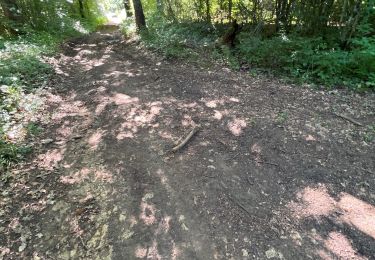
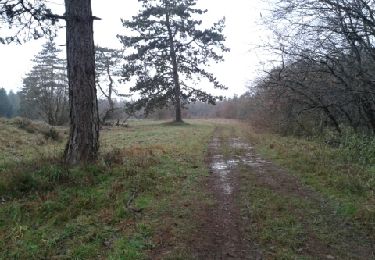
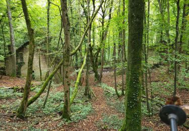
Magnifique randonnée organisé par FOYER RURAL VTT SEXEY AUX FORGES le 03 mai 2009 52 Kms que dans les bois sur de magnifiques chemins et sentiers.
Localisation
Pays :
France
Région :
Grand Est
Département/Province :
Meurthe-et-Moselle
Commune :
Sexey-aux-Forges
Localité :
Unknown
Départ:(Dec)
Départ:(UTM)
283017 ; 5389532 (32U) N.
Commentaires
Randonnées à proximité

Bainville sur Madon


Marche
Moyen
(3)
Bainville-sur-Madon,
Grand Est,
Meurthe-et-Moselle,
France

18,3 km | 23 km-effort
4h 15min
Oui

RANDO DUO AVEC ALEXIS


Marche
Difficile
(1)
Villers-lès-Nancy,
Grand Est,
Meurthe-et-Moselle,
France

38 km | 45 km-effort
10h 19min
Non

Sexey Aux Forges


Marche
Très difficile
Sexey-aux-Forges,
Grand Est,
Meurthe-et-Moselle,
France

31 km | 38 km-effort
2h 38min
Non

BAINVILLE SUR MADON - CIRCUIT VOIVRE ET JACQUES CALLOT


Marche
Moyen
Bainville-sur-Madon,
Grand Est,
Meurthe-et-Moselle,
France

19,8 km | 24 km-effort
5h 44min
Oui

sentier des croix


Marche
Très facile
(1)
Viterne,
Grand Est,
Meurthe-et-Moselle,
France

11,6 km | 13,6 km-effort
3h 10min
Oui

viterne du 14.12.2013


Marche
Facile
(2)
Maizières,
Grand Est,
Meurthe-et-Moselle,
France

7,6 km | 9,5 km-effort
2h 6min
Non

Chaligny 1


Marche
Facile
(1)
Chaligny,
Grand Est,
Meurthe-et-Moselle,
France

4,9 km | 6,3 km-effort
1h 20min
Oui

Randoguide


Marche
Moyen
(2)
Maizières,
Grand Est,
Meurthe-et-Moselle,
France

9,4 km | 12,9 km-effort
2h 19min
Oui

Le chemin des mines


Marche
Difficile
Pont-Saint-Vincent,
Grand Est,
Meurthe-et-Moselle,
France

13 km | 16,6 km-effort
3h 39min
Oui


 SityTrail


