


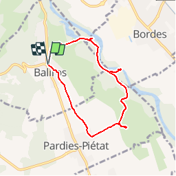


7,3 km | 10,1 km-effort


Utilisateur


Application GPS de randonnée GRATUITE
 SityTrail
IGN / Instituts géographiques
SityTrail World
Le monde est à vous
Randonnée Marche de 6,9 km à découvrir à Nouvelle-Aquitaine, Pyrénées-Atlantiques, Baliros. Cette randonnée est proposée par tracegps.
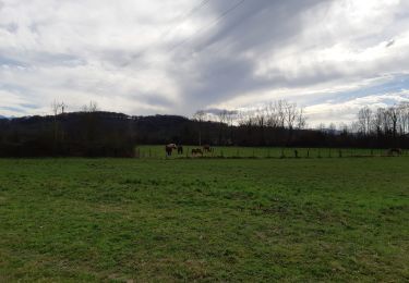
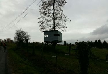
Circuit à travers champs, sous-bois et en bordure du gave de Pau d'où l'on peut observer quelques échassiers (hérons, aigrettes, canards, ...). Coins agréables pour se reposer et pique-niquer. A voir également un vieux moulin à eau.

Marche

Marche

Marche

Marche

Marche
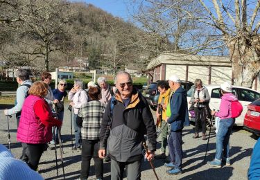
Marche
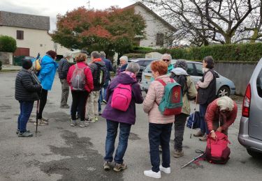
Marche
Marche
Marche