


10,6 km | 26 km-effort


Utilisateur


Application GPS de randonnée GRATUITE
 SityTrail
IGN / Instituts géographiques
SityTrail World
Le monde est à vous
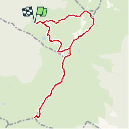
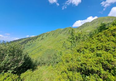
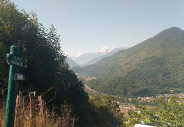
Randonnée Marche de 9,9 km à découvrir à Auvergne-Rhône-Alpes, Savoie, Sainte-Hélène-sur-Isère. Cette randonnée est proposée par tracegps.
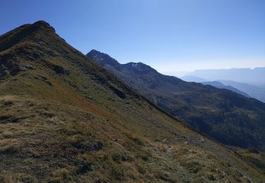
Randonnée se passant en grande partie sur une crête qui pourrait mettre mal à l'aise les personnes sujettes au vertige du fait du vide omniprésent.
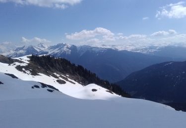
Ski de randonnée
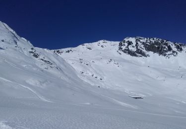
Ski de randonnée

Marche
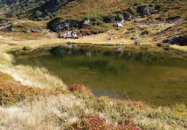
Marche
Marche
Marche
Marche
Marche
Marche