


9,6 km | 11,8 km-effort


Utilisateur


Application GPS de randonnée GRATUITE
 SityTrail
IGN / Instituts géographiques
SityTrail World
Le monde est à vous
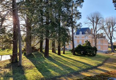
Randonnée V.T.T. de 36 km à découvrir à Auvergne-Rhône-Alpes, Rhône, L'Arbresle. Cette randonnée est proposée par tracegps.
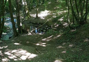
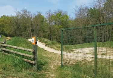
Je vais travailler en vélo et il est bien difficile de trouver un circuit qui évite les voitures. Marre de me faire gazer ! Ce trajet est le meilleur trouvé. Il est assez long 34km, 800m de dénivelé et pour moi 2h15 de trajet, mais il est agréable il y a de très jolies vues. Il existe plusieurs variantes. Il y a juste environ 2km de chemin (après le chemin du Machi) praticable uniquement en VTT sinon le vélo de route passe partout. Peu après le passage au dessus de l'autoroute, 100m après il y a un ruisseau à passer (2m de large; 20cm de profond (pas la mer à boire)) il y a même un rocher au milieu pour passer à sec. Voila, après 2ans de trajet, le meilleur trouvé jusqu'ici. Pour les pressés Vous pouvez utiliser le circuit de retour : Lyon l'Arbresle, ça passe le matin ou de temps en temps le soir mais il y a bien plus de circulation : 450m de dénivelé 29km et pour moi 1h35 de trajet VTT. (En vélo de route : 1h20 ) .
Marche
Marche

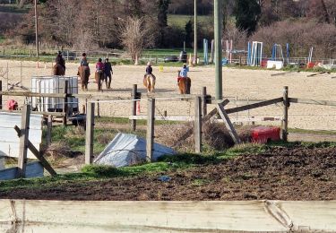
Randonnée équestre
Marche

Marche
Marche
Marche
Marche
Marche