


16,9 km | 30 km-effort

Utilisateur


Application GPS de randonnée GRATUITE
 SityTrail
IGN / Instituts géographiques
SityTrail World
Le monde est à vous
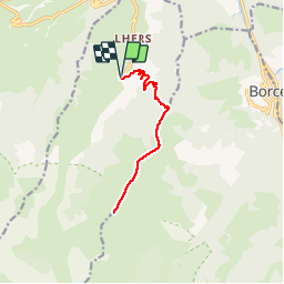
Randonnée Marche de 12,8 km à découvrir à Nouvelle-Aquitaine, Pyrénées-Atlantiques, Accous. Cette randonnée est proposée par tracegps.
Sommet en vallée d'Aspe sans grande difficulté si ce n’est le dénivelé. Fabuleux point de vue par beau temps !


Raquettes à neige

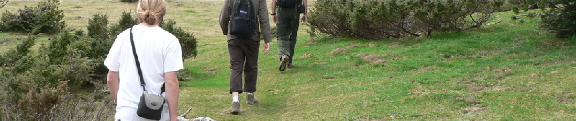
Marche

Marche

Marche

Marche

A pied
A pied
A pied

A pied