


34 km | 44 km-effort


Utilisateur


Application GPS de randonnée GRATUITE
 SityTrail
IGN / Instituts géographiques
SityTrail World
Le monde est à vous
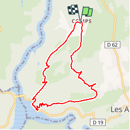
Randonnée Marche de 8,8 km à découvrir à Auvergne-Rhône-Alpes, Puy-de-Dôme, Les Ancizes-Comps. Cette randonnée est proposée par tracegps.
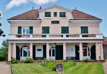
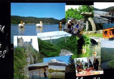
Balade tout près des Ancizes, au nord de Pongibaud en Auvergne.Les Ancizes sont connus pour son groupe industriel "Aubert et Duval", présent dans la région depuis 1918 et spécialiste européen des aciers spéciaux.La balade au cœur des Combrailles permet de découvrir la retenue des Fades où les plaisirs de l'eau sont multiples en été. Balade numérisée sur le terrain par Jean louis Phillipart. Retrouvez cette randonnée dans le topo Guide Chamina Les Combrailles.

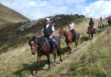
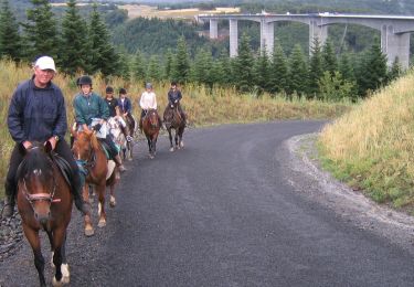
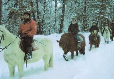
Randonnée équestre
A pied
A pied
A pied
Randonnée équestre
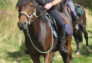
Randonnée équestre
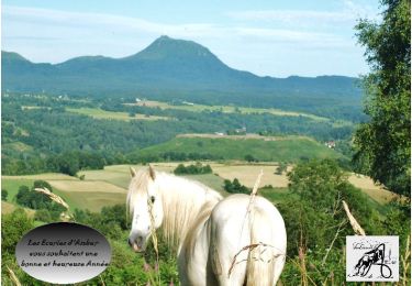
Randonnée équestre
Randonnée équestre
Randonnée équestre