


18,5 km | 37 km-effort

Utilisateur


Application GPS de randonnée GRATUITE
 SityTrail
IGN / Instituts géographiques
SityTrail World
Le monde est à vous
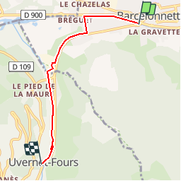
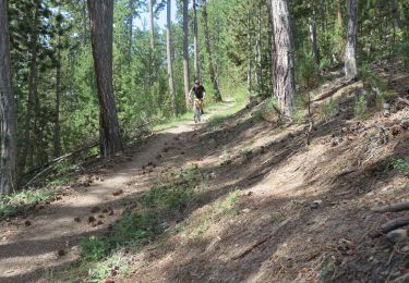
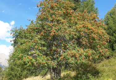
Randonnée V.T.T. de 4,6 km à découvrir à Provence-Alpes-Côte d'Azur, Alpes-de-Haute-Provence, Barcelonnette. Cette randonnée est proposée par tracegps.
Espace VTT FFC Vallée de l’Ubaye Circuit officiel labellisé par la Fédération Française de Cyclisme. La Vallée de l'Ubaye vous propose plus de 300 Km d'itinéraires balisés et labellisés. De la promenade en famille ou entre amis, jusqu'au raid de plusieurs jours, découvrez ces 19 itinéraires en téléchargeant le Plan général des circuits.

Marche
Marche
V.T.T.
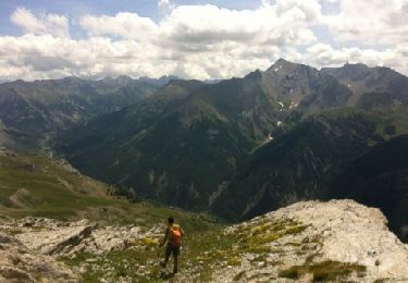
Marche

Marche

Marche
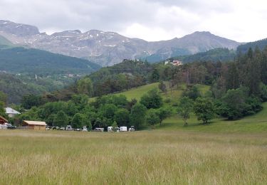
Marche
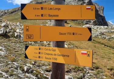
Marche
Marche