


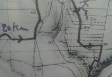
7,9 km | 9,9 km-effort


Utilisateur


Application GPS de randonnée GRATUITE
 SityTrail
IGN / Instituts géographiques
SityTrail World
Le monde est à vous
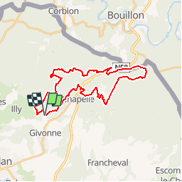
Randonnée V.T.T. de 28 km à découvrir à Grand Est, Ardennes, Givonne. Cette randonnée est proposée par tracegps.
Espace VTT FFC Pays Sedanais Le Banet Circuit officiel labellisé par la Fédération Française de Cyclisme. Le Pays sedanais comporte 16 circuits balisés. Grâce à la variété des sites, les sorties sont adaptées aussi bien aux balades en famille qu'aux raids en solitaire. Votre périple pourra vous mener à l'aplomb de la vallée de la Semois entourant la superbe petite bourgade de Bouillon, en Belgique. Attention : Les pistes sont interdites les jours de chasse en batture, la nuit et par temps de neige. Sedan Sprint Club

Marche
Randonnée équestre
Marche

Marche

V.T.T.
Marche nordique

Attelage
A pied
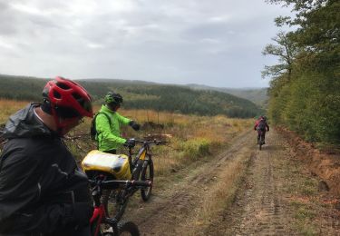
V.T.T.