


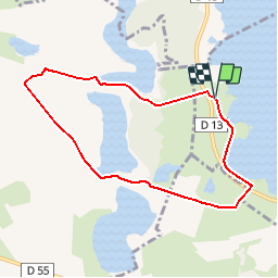

7,2 km | 8 km-effort


Utilisateur


Application GPS de randonnée GRATUITE
 SityTrail
IGN / Instituts géographiques
SityTrail World
Le monde est à vous
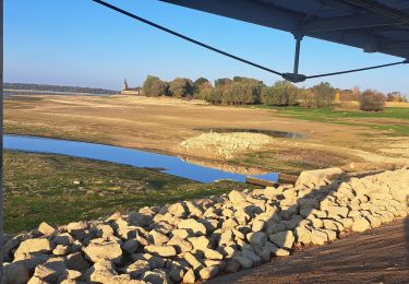
Randonnée V.T.T. de 7,2 km à découvrir à Grand Est, Marne, Giffaumont-Champaubert. Cette randonnée est proposée par tracegps.
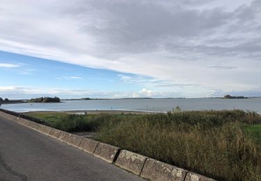
Espace VTT - FFC Lac du Der en Champagne Circuit officiel labellisé par la Fédération Française de Cyclisme. Pénétrez dans le monde fascinant des étangs construits par les moines au Moyen Age...


Marche
A pied
Marche
Marche
Marche
Marche

sport
sport
Marche