


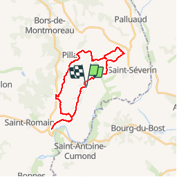

11,3 km | 13,1 km-effort


Utilisateur


Application GPS de randonnée GRATUITE
 SityTrail
IGN / Instituts géographiques
SityTrail World
Le monde est à vous
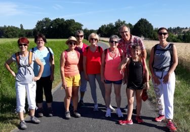
Randonnée V.T.T. de 25 km à découvrir à Nouvelle-Aquitaine, Charente, Nabinaud. Cette randonnée est proposée par Oupia82.
Aubeterre St Severin par le golf
Trace à verifier liaison Aubeterre Laprade
Marche
Marche
Marche

Marche

Marche
Marche

Marche
Marche
Marche