


12,1 km | 21 km-effort


Utilisateur


Application GPS de randonnée GRATUITE
 SityTrail
IGN / Instituts géographiques
SityTrail World
Le monde est à vous
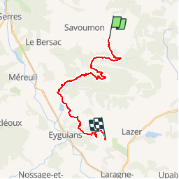
Randonnée V.T.T. de 22 km à découvrir à Provence-Alpes-Côte d'Azur, Hautes-Alpes, Savournon. Cette randonnée est proposée par tracegps.
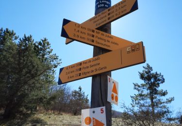
Grande Traversée des Préalpes, les Chemins du Soleil. Parcours officiel labellisé par la Fédération Française de Cyclisme. Parcours Valence – Gap - Sisteron – Tronçon n° 35 Niveau: moyen avec une montée très raide avant les ruines d'Eyguians. Mesure de prudence: descente rapide avec de grosses ornières après les ruines de Ville-Vieille. Consultez toutes les informations sur les hébergements et les services associés sur la fiche du tronçon. Retrouvez cette traversée dans l’indispensable topo Guide Chamina Grande Traversée des Préalpes
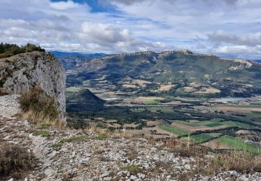
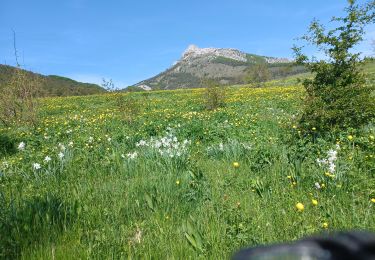
 - Arzeliers - Photo 1")
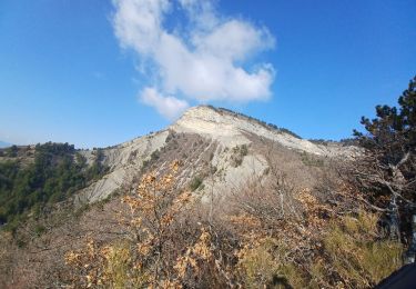
 - Arzeliers - Photo 2")
A pied

Marche

Marche
Marche
Marche
Marche
Marche
Marche
Marche