


5,6 km | 13,4 km-effort


Utilisateur


Application GPS de randonnée GRATUITE
 SityTrail
IGN / Instituts géographiques
SityTrail World
Le monde est à vous
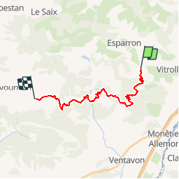
Randonnée V.T.T. de 19,6 km à découvrir à Provence-Alpes-Côte d'Azur, Hautes-Alpes, Barcillonnette. Cette randonnée est proposée par tracegps.
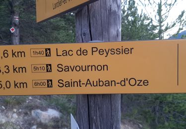
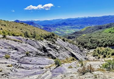
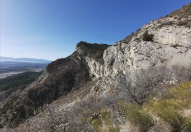
Grande Traversée des Préalpes, les Chemins du Soleil. Parcours officiel labellisé par la Fédération Française de Cyclisme. Parcours Valence – Gap - Sisteron – Tronçon n° 34 Niveau: assez difficile; la montée au pas de Roche Courbe est assez roulante avec un profil régulier. Mesure de prudence: descente très technique après le pas de Roche Courbe. Descendre de vélo. Consultez toutes les informations sur les hébergements et les services associés sur la fiche du tronçon. Retrouvez cette traversée dans l’indispensable topo Guide Chamina Grande Traversée des Préalpes
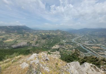
 - Photo 1")
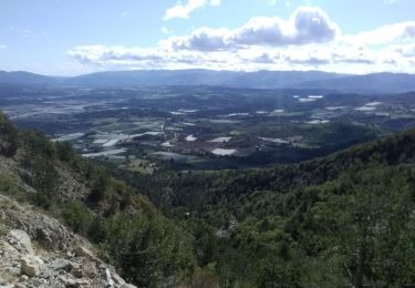
 - Photo 2")
Marche
Marche
Marche
Marche
Marche
Marche
Marche
Marche
Marche