


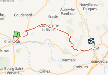

43 km | 53 km-effort

Utilisateur


Application GPS de randonnée GRATUITE
 SityTrail
IGN / Instituts géographiques
SityTrail World
Le monde est à vous
Randonnée V.T.T. de 20 km à découvrir à Normandie, Orne, Gouffern en Auge. Cette randonnée est proposée par tracegps.
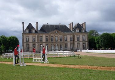
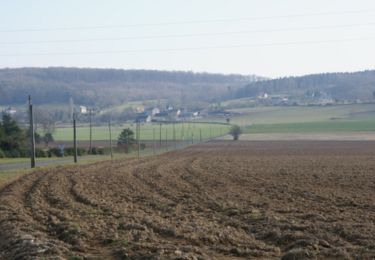
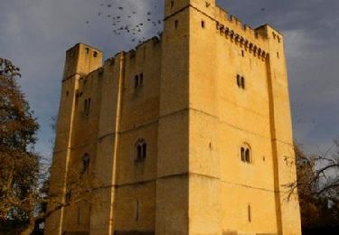
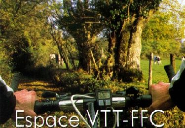
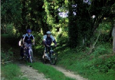
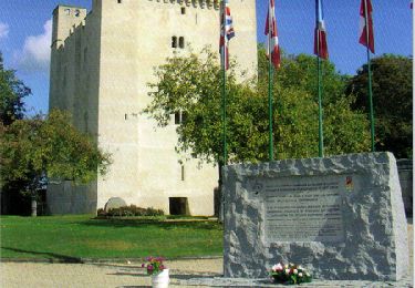
Espace VTT FFC du Pays d’Auge Ornais Circuit labellisé par la Fédération Française de Cyclisme. Gacé : son musée de la Dame aux Camélias, son château. Sportifs, la Suisse Normande vous ravira. Des gorges vertigineuses de Saint-Aubert aux lignes de crêtes panoramiques, la Suisse Normande offre un large choix de randonnées sportives aux Vttistes et randonneurs. Du haut de la Roche d’Oëtre, point culminant des Montagnes de Normandie, offrez-vous un inoubliable panorama sur la vallée de la Rouvre pour un week-end dans l'Orne.


V.T.T.
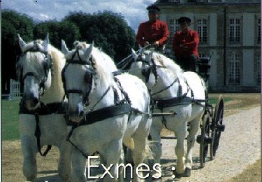
Cheval

Cheval

V.T.T.
Marche
V.T.T.
V.T.T.
V.T.T.
V.T.T.