


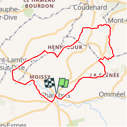

43 km | 53 km-effort

Utilisateur


Application GPS de randonnée GRATUITE
 SityTrail
IGN / Instituts géographiques
SityTrail World
Le monde est à vous
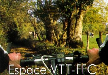
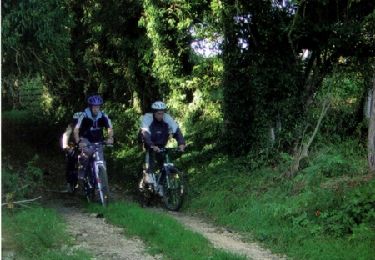
Randonnée V.T.T. de 16,9 km à découvrir à Normandie, Orne, Gouffern en Auge. Cette randonnée est proposée par tracegps.
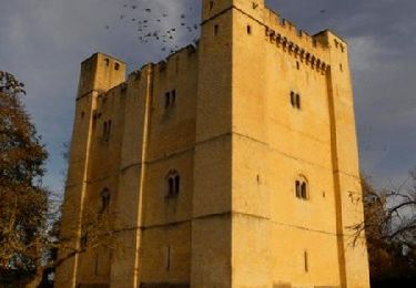
Espace VTT FFC du Pays d’Auge Ornais Circuit labellisé par la Fédération Française de Cyclisme. Chambois, son donjon, son exposition sur la fameuse "Poche de Chambois" d'Août 1944, ses églises et ses salons du savoir faire, de la peinture et sculpture.

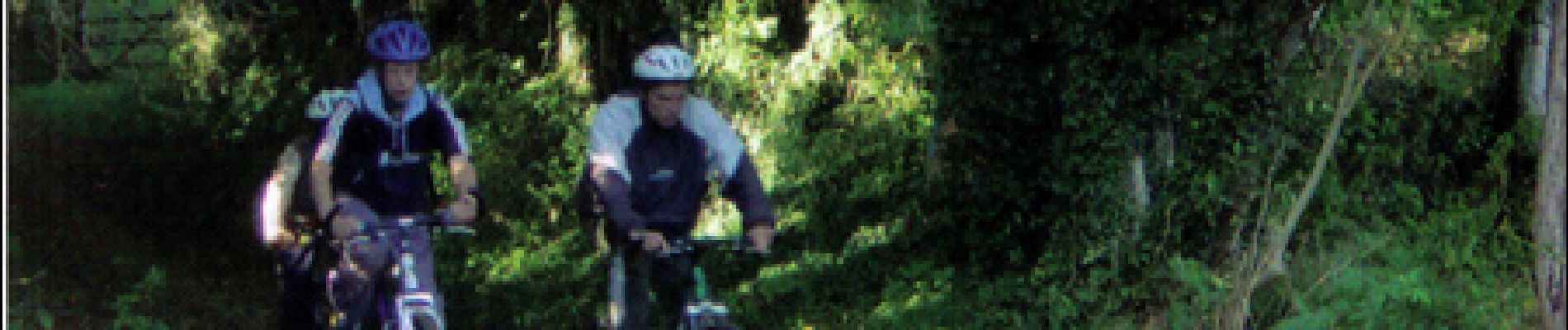
V.T.T.
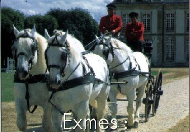
Cheval

Cheval

V.T.T.
Marche

V.T.T.
V.T.T.
V.T.T.
V.T.T.