


11,1 km | 17,4 km-effort

Utilisateur


Application GPS de randonnée GRATUITE
 SityTrail
IGN / Instituts géographiques
SityTrail World
Le monde est à vous
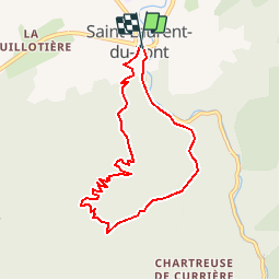
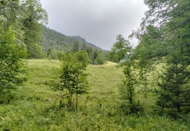
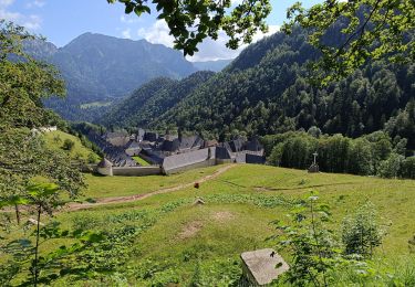
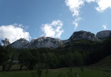
Randonnée Marche de 7,9 km à découvrir à Auvergne-Rhône-Alpes, Isère, Saint-Laurent-du-Pont. Cette randonnée est proposée par tracegps.
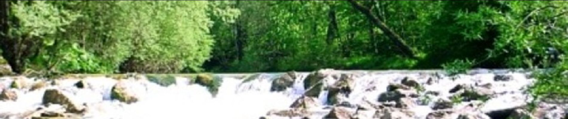
Située entre la plaine du Guiers et le massif de la Chartreuse, Saint-Laurent-du-Pont est la principale porte de la Chartreuse. Cette commune appartient au parc naturel régional de la Chartreuse. La ville est traversée par la rivière nommée le Guiers Mort, à sa sortie du massif.(Wikipédia)


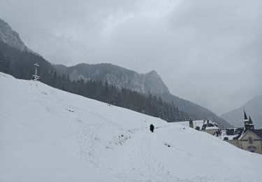
Raquettes à neige

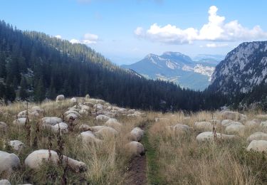
Marche

Marche
Marche
Marche
Marche
Marche
Marche
Marche