


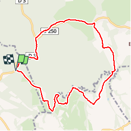

15,3 km | 20 km-effort


Utilisateur


Application GPS de randonnée GRATUITE
 SityTrail
IGN / Instituts géographiques
SityTrail World
Le monde est à vous
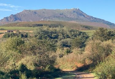
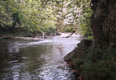
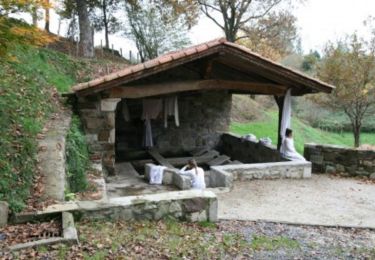
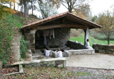
Randonnée Marche nordique de 10,2 km à découvrir à Nouvelle-Aquitaine, Pyrénées-Atlantiques, Saint-Pée-sur-Nivelle. Cette randonnée est proposée par funkady.
Agréable

Marche nordique
Marche

Marche

Marche
Marche

Marche
V.T.T.
Marche

Marche
Pas terrible.