


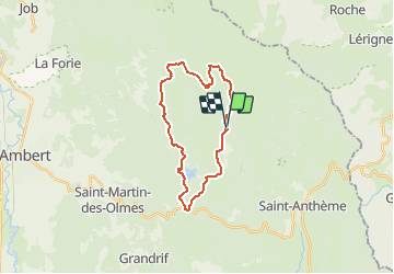

9,5 km | 13,3 km-effort

Utilisateur


Application GPS de randonnée GRATUITE
 SityTrail
IGN / Instituts géographiques
SityTrail World
Le monde est à vous
Randonnée V.T.T. de 23 km à découvrir à Auvergne-Rhône-Alpes, Puy-de-Dôme, Saint-Anthème. Cette randonnée est proposée par tracegps.
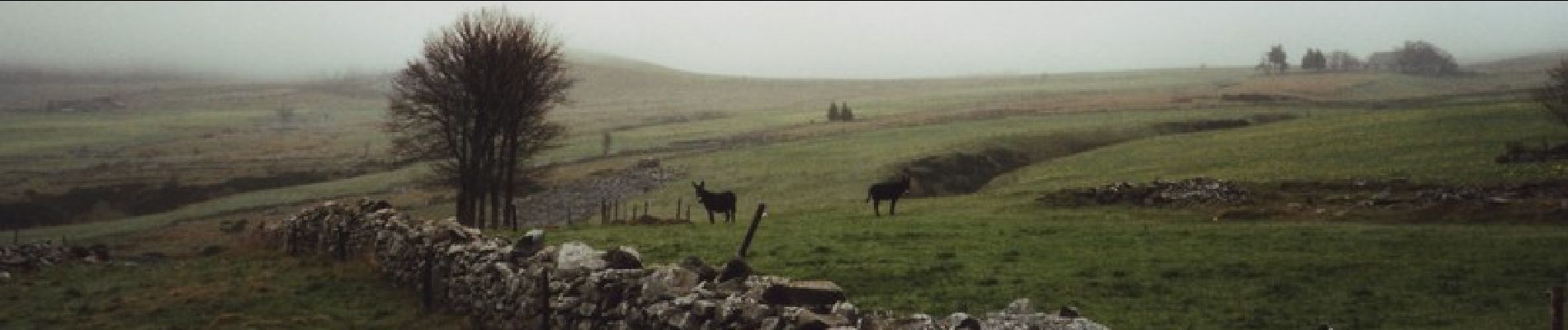
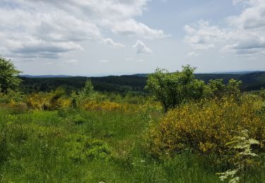
Espace VTT FFC de la Vallée de l’Ance Circuit labellisé par la Fédération Française de Cyclisme. Ce circuit plutôt physique et technique vous permettra d’accéder à la beauté sauvage des grands espaces des Hautes-Chaumes. Vous serez récompensé par la découverte d’un magnifique panorama : barrage des Pradeaux, monts du Livradois, monts Dôme, monts Dore, monts du Cantal, monts du Velay.


Marche

Marche

A pied

A pied
A pied

Marche
A pied
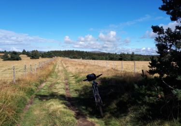
V.T.T.
Marche