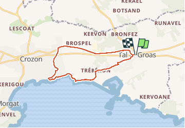


12,2 km | 15 km-effort

Utilisateur


Application GPS de randonnée GRATUITE
 SityTrail
IGN / Instituts géographiques
SityTrail World
Le monde est à vous
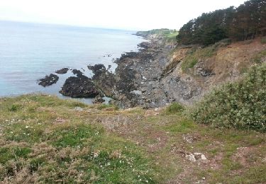
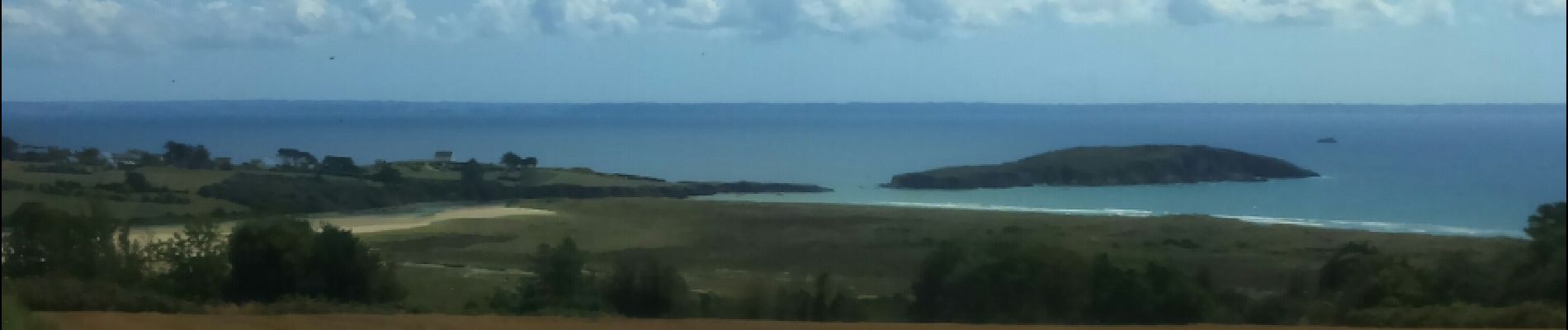
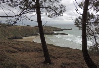
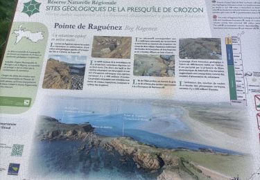
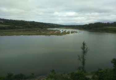
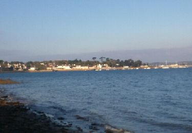
Randonnée Marche de 12,2 km à découvrir à Bretagne, Finistère, Crozon. Cette randonnée est proposée par RonanDAGORN.
Très belle randonnée mais à faire plutôt dans le sens contraire des aiguilles d'une montre, pour commencer par la voie verte qui n'a plus de vert que le nom tellement elle est noire de bitume...
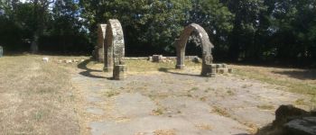
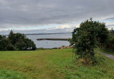
 - Photo 1")
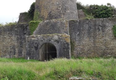
 - Photo 2")
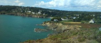
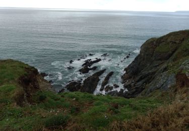
 - Photo 3")
 - Photo 4")

A pied
Marche
Marche
Marche
Marche
Marche nordique
Marche
Marche