


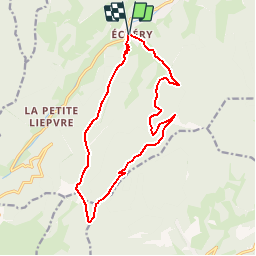


17,1 km | 27 km-effort


Utilisateur


Application GPS de randonnée GRATUITE
 SityTrail
IGN / Instituts géographiques
SityTrail World
Le monde est à vous
Randonnée Marche de 14,5 km à découvrir à Grand Est, Haut-Rhin, Sainte-Marie-aux-Mines. Cette randonnée est proposée par tracegps.
Prendre la direction du centre du village, emprunter sur la gauche le chemin balisé croix jaune qui grimpe au sommet du Schulberg (627 mi. Suivre la ligne de crête qui monte au point coté 934 m pour redescendre vers un chemin carrossable. Le traverser pour arriver au début du pré de la Ferme Auberge Haïcot... La suite et d’autres informations et photos sont disponibles ICI Balade proposée par « Alsace en randonnée.» Balisage : la plupart des sentiers dans la montagne vosgienne sont tracés, entretenus et balisés bénévolement par les membres du Club Vosgien, d'une façon tout à fait remarquable. Les différents signes en couleur (rectangle, disque, triangle, croix, etc...) sont reproduits sur la carte.


Marche

Marche

Randonnée équestre

Randonnée équestre

Marche
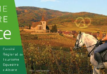
Randonnée équestre

A pied
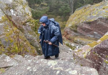
Marche
Marche