


90 km | 111 km-effort


Utilisateur


Application GPS de randonnée GRATUITE
 SityTrail
IGN / Instituts géographiques
SityTrail World
Le monde est à vous
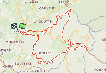
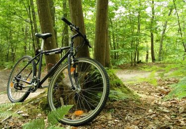
Randonnée V.T.T. de 29 km à découvrir à Auvergne-Rhône-Alpes, Haute-Loire, Riotord. Cette randonnée est proposée par tracegps.
Espace VTT FFC Le Velay des 3 Rivières Circuit labellisé par la Fédération Française de Cyclisme. En grande partie en sous bois, ce parcours très physique sillonne les chemins des anciennes terres de l'abbaye de Clavas. Le topo-guide Chamina est en vente dans le réseau Chamina, dans les Offices de Tourisme du territoire et auprès du Syndicat d’Initiative.

Vélo de route

V.T.T.
Marche
Marche
V.T.T.
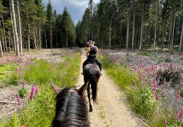
Randonnée équestre

V.T.T.
V.T.T.
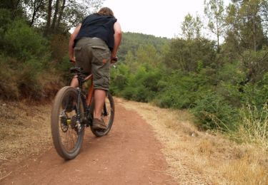
V.T.T.