


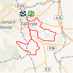

7,4 km | 8,6 km-effort

Utilisateur


Application GPS de randonnée GRATUITE
 SityTrail
IGN / Instituts géographiques
SityTrail World
Le monde est à vous
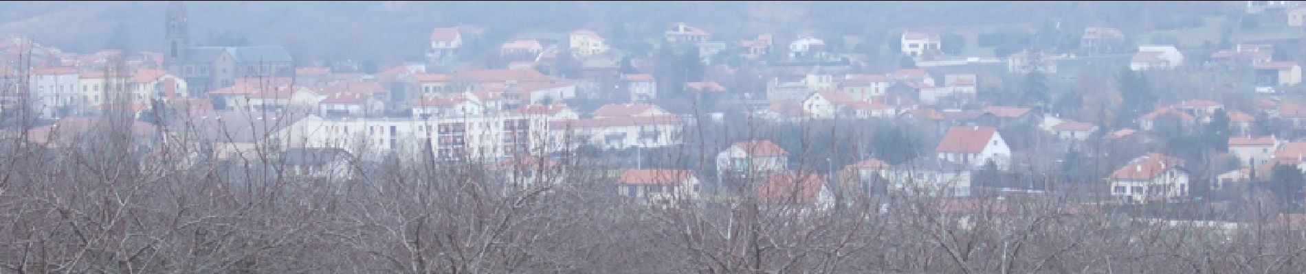
Randonnée Marche de 8,5 km à découvrir à Auvergne-Rhône-Alpes, Puy-de-Dôme, Tallende. Cette randonnée est proposée par tracegps.
Balade numérisée sur le terrain par Jean louis Phillipart. Retrouvez cette randonnée dans le topo Guide Chamina Autour de Clermont.


Marche

Marche

A pied
A pied
A pied

A pied

A pied

A pied

A pied