


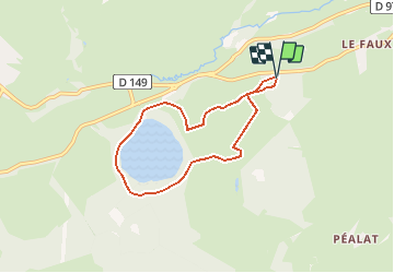


4,6 km | 6,6 km-effort

Utilisateur


Application GPS de randonnée GRATUITE
 SityTrail
IGN / Instituts géographiques
SityTrail World
Le monde est à vous
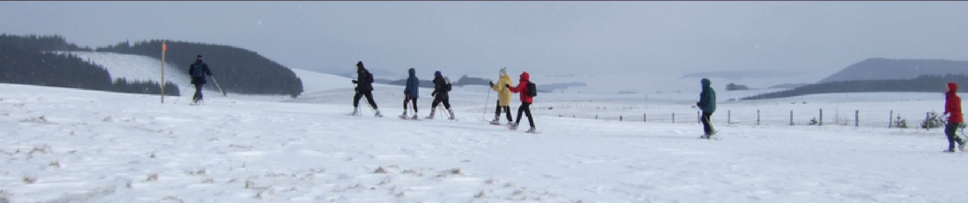
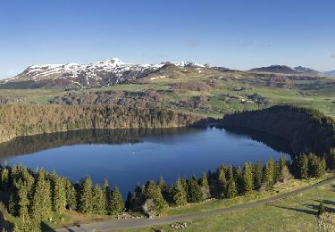
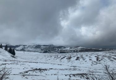
Randonnée Raquettes à neige de 6,3 km à découvrir à Auvergne-Rhône-Alpes, Puy-de-Dôme, Besse-et-Saint-Anastaise. Cette randonnée est proposée par tracegps.
Balade numérisée sur le terrain par Jean louis Phillipart. Retrouvez cette randonnée dans le topo Guide Chamina Le Puy de Dome.


Marche
Marche
Marche

Marche

Marche
Marche

Marche

V.T.T.

Marche