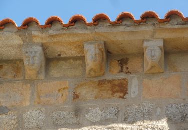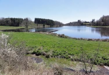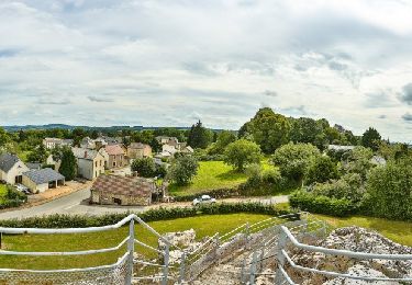

Roche d'Agoux par Vergheas

tracegps
Utilisateur

Longueur
16,4 km

Altitude max
702 m

Dénivelé positif
410 m

Km-Effort
22 km

Altitude min
508 m

Dénivelé négatif
412 m
Boucle
Oui
Date de création :
2014-12-10 00:00:00.0
Dernière modification :
2014-12-10 00:00:00.0
4h45
Difficulté : Difficile

Application GPS de randonnée GRATUITE
À propos
Randonnée Marche de 16,4 km à découvrir à Auvergne-Rhône-Alpes, Puy-de-Dôme, Vergheas. Cette randonnée est proposée par tracegps.
Description
Balade numérisée sur le terrain par Jean louis Phillipart. Retrouvez cette randonnée dans le topo Guide Chamina Les Combrailles.
Localisation
Pays :
France
Région :
Auvergne-Rhône-Alpes
Département/Province :
Puy-de-Dôme
Commune :
Vergheas
Localité :
Unknown
Départ:(Dec)
Départ:(UTM)
470242 ; 5097406 (31T) N.
Commentaires
Randonnées à proximité

La Roche d'Agoux


A pied
Moyen
Roche-d'Agoux,
Auvergne-Rhône-Alpes,
Puy-de-Dôme,
France

16,1 km | 21 km-effort
4h 52min
Oui

Bascobert


A pied
Facile
Biollet,
Auvergne-Rhône-Alpes,
Puy-de-Dôme,
France

14,2 km | 17,9 km-effort
4h 3min
Oui

Vergheas_Roche_Agoux


Marche
Moyen
Vergheas,
Auvergne-Rhône-Alpes,
Puy-de-Dôme,
France

16,1 km | 21 km-effort
4h 45min
Oui

saint maurice près pionsat


V.T.T.
Très difficile
Saint-Maurice-près-Pionsat,
Auvergne-Rhône-Alpes,
Puy-de-Dôme,
France

37 km | 47 km-effort
4h 7min
Oui

Balade à Bussières


Marche
Facile
Bussières,
Auvergne-Rhône-Alpes,
Puy-de-Dôme,
France

5,6 km | 7,8 km-effort
1h 46min
Oui

Balade à Saint-Maurice-près-Pionsat


Marche
Facile
Saint-Maurice-près-Pionsat,
Auvergne-Rhône-Alpes,
Puy-de-Dôme,
France

3,9 km | 4,7 km-effort
1h 3min
Oui

Circuit de randonnée : circuit des puits


Marche
Moyen
Dontreix,
Nouvelle-Aquitaine,
Creuse,
France

10,1 km | 13,1 km-effort
2h 58min
Oui

Circuit de la Vergnade


Marche
Moyen
Charron,
Nouvelle-Aquitaine,
Creuse,
France

12,3 km | 15,6 km-effort
3h 33min
Oui

Circuit des bois de Drouille


Marche
Moyen
Charron,
Nouvelle-Aquitaine,
Creuse,
France

5,6 km | 7,1 km-effort
1h 36min
Oui


 SityTrail


