


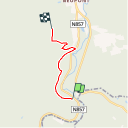


26 km | 33 km-effort

Utilisateur GUIDE


Application GPS de randonnée GRATUITE
 SityTrail
IGN / Instituts géographiques
SityTrail World
Le monde est à vous
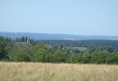
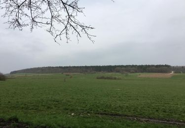
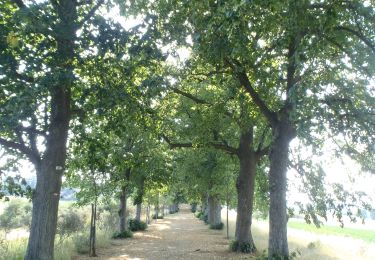
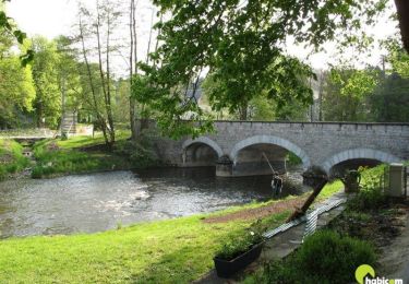
Randonnée Marche de 3 km à découvrir à Wallonie, Luxembourg, Wellin. Cette randonnée est proposée par grande_foret_sthubert.
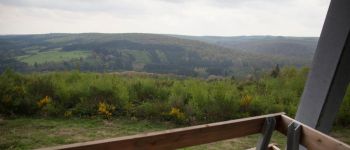
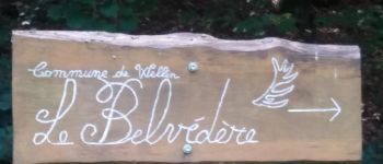
Une balade sportive vous conduira des bords de la Lesse au Belvédère de Wellin. Le retour s'effectue par le même chemin.


Marche

Marche

Marche
Marche
Marche

Marche
Marche

Marche

Marche