


24 km | 29 km-effort


Utilisateur GUIDE


Application GPS de randonnée GRATUITE
 SityTrail
IGN / Instituts géographiques
SityTrail World
Le monde est à vous
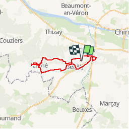
Randonnée Marche de 21 km à découvrir à Centre-Val de Loire, Indre-et-Loire, Seuilly. Cette randonnée est proposée par Orcal37.
Seuilly - Sentier des guerres Picrocholines - Lerné la Roche-Clermault Cinais - 21.2km 215m 4h40 (45mn) - 2018 08 05
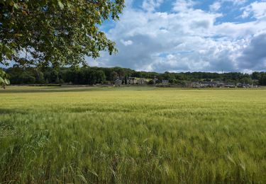
 - 2018 08 05 - Photo 1")
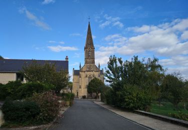
 - 2018 08 05 - Photo 2")
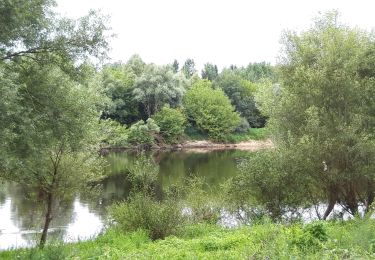
 - 2018 08 05 - Photo 3")
 - 2018 08 05 - Photo 4")
 - 2018 08 05 - Photo 5")
 - 2018 08 05 - Photo 6")
 - 2018 08 05 - Photo 7")
 - 2018 08 05 - Photo 8")
 - 2018 08 05 - Photo 9")
 - 2018 08 05 - Photo 10")
 - 2018 08 05 - Photo 11")
 - 2018 08 05 - Photo 12")
 - 2018 08 05 - Photo 13")
 - 2018 08 05 - Photo 14")
 - 2018 08 05 - Photo 15")
 - 2018 08 05 - Photo 16")
 - 2018 08 05 - Photo 17")
 - 2018 08 05 - Photo 18")
 - 2018 08 05 - Photo 19")
 - 2018 08 05 - Photo 20")
Marche
Marche

Marche

Marche

Marche
Marche

Marche

Marche

V.T.T.