


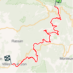

19,1 km | 30 km-effort


Utilisateur


Application GPS de randonnée GRATUITE
 SityTrail
IGN / Instituts géographiques
SityTrail World
Le monde est à vous
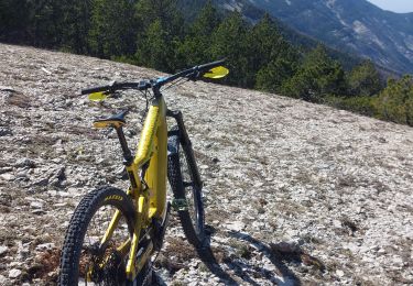
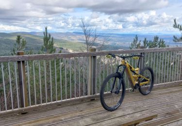
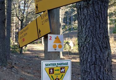
Randonnée V.T.T. de 36 km à découvrir à Provence-Alpes-Côte d'Azur, Vaucluse, Aurel. Cette randonnée est proposée par tracegps.
Du fait que cette balade est un aller simple en descente (nécessité de laisser un véhicule à chaque extrémité), elle est facile physiquement et ne comporte pas de grandes difficulté techniques. Bref un must pour se faire le Ventoux en famille !

Marche
Marche
Marche
Marche
V.T.T.
V.T.T.
Marche

V.T.T.

V.T.T.