


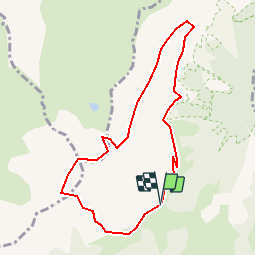

9,1 km | 24 km-effort


Utilisateur


Application GPS de randonnée GRATUITE
 SityTrail
IGN / Instituts géographiques
SityTrail World
Le monde est à vous
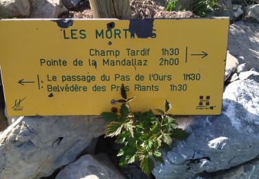
Randonnée Marche de 8,2 km à découvrir à Auvergne-Rhône-Alpes, Savoie, Ugine. Cette randonnée est proposée par tracegps.
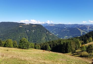
Tranquille au début mais plus technique sur la fin. Belle vue sur le lac au sommet et sur le retour une succession de petits cours d'eau animent la progression. 6h00 de rando bien calmé dans la voiture, il ne s'agit pas une sortie non préparée et pour débutants ! La suite est sur Montagne-Cool

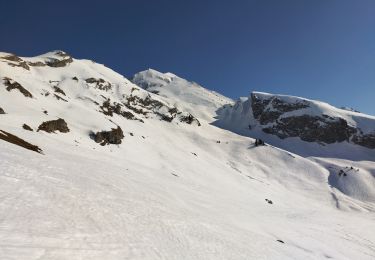
Ski de randonnée

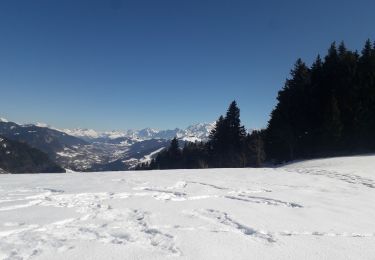
Marche

Marche
Marche
Raquettes à neige
Marche
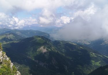
Via ferrata
Marche
Marche