


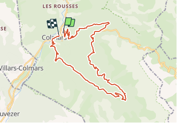


18,8 km | 29 km-effort


Utilisateur


Application GPS de randonnée GRATUITE
 SityTrail
IGN / Instituts géographiques
SityTrail World
Le monde est à vous
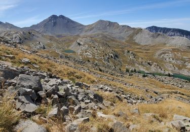
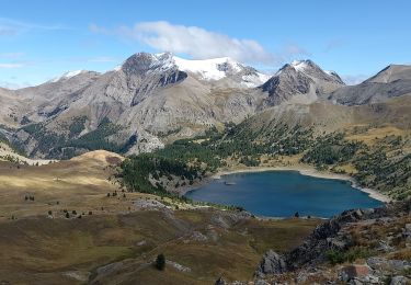
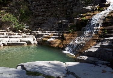
Randonnée V.T.T. de 22 km à découvrir à Provence-Alpes-Côte d'Azur, Alpes-de-Haute-Provence, Colmars. Cette randonnée est proposée par tracegps.
Pas de difficultes majeures. Montée par la route et fin de la montée en single. La descente n'a quasi aucune difficulte et reste plutot rapide.

Marche

Marche
Marche
Marche
Marche
Marche
Marche
Marche
Marche