


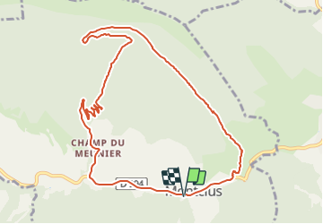

20 km | 33 km-effort


Utilisateur


Application GPS de randonnée GRATUITE
 SityTrail
IGN / Instituts géographiques
SityTrail World
Le monde est à vous
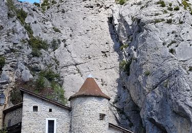
Randonnée V.T.T. de 11,2 km à découvrir à Provence-Alpes-Côte d'Azur, Hautes-Alpes, Montclus. Cette randonnée est proposée par tracegps.
Belle montee par la piste et une descente enduro des plus "tagazoux" mais tout passe sur le velo. Pour une bonne bouffe ou un gite local, réserver à Vaugela auberge Montclus.

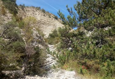
Marche

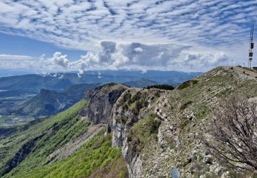
Marche
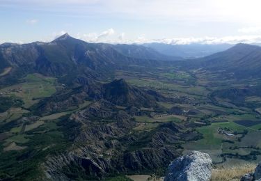
Marche
Marche
Marche

Marche
Marche
Marche

Marche