


12,9 km | 21 km-effort

Utilisateur


Application GPS de randonnée GRATUITE
 SityTrail
IGN / Instituts géographiques
SityTrail World
Le monde est à vous
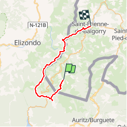
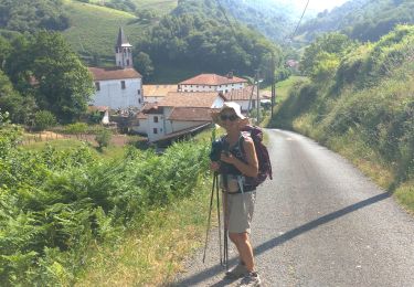
Randonnée Course à pied de 38 km à découvrir à Nouvelle-Aquitaine, Pyrénées-Atlantiques, Urepel. Cette randonnée est proposée par tracegps.
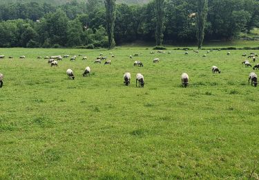
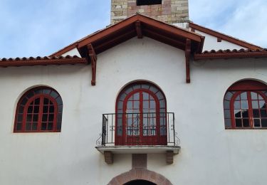
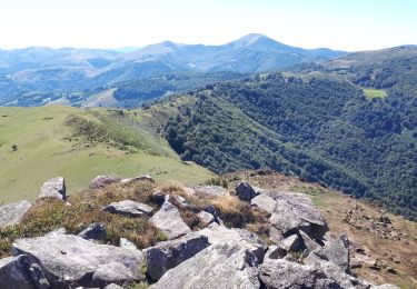
Le Pays basque est un formidable terrain d’aventure offrant de larges possibilités de sports nature. C’est ce pays et la vallée de Baïgorry que vous invitent à découvrir les membres d’EUSKAL RAID ASSOCIATION avec cette deuxième étape. Grace aussi aux Ultra fondus !

Marche
A pied
Marche
Marche
Marche
Marche
Marche
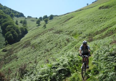
V.T.T.
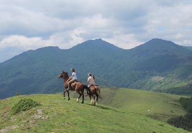
Cheval