


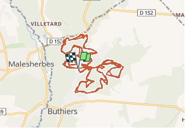

28 km | 33 km-effort

Utilisateur


Application GPS de randonnée GRATUITE
 SityTrail
IGN / Instituts géographiques
SityTrail World
Le monde est à vous
Randonnée V.T.T. de 36 km à découvrir à Île-de-France, Seine-et-Marne, Buthiers. Cette randonnée est proposée par tracegps.
22 Janvier 2006 L'organisateur nous explique le principe de l'épreuve. Nous avons 3 tours d'un circuit de 10km ( 211m) à parcourir, le premier tour servant de reconnaissance, les 2 suivants étant prise en compte pour établir le classement général. Pour les catégories minimes, cadets et filles, seul le premier tour sera pris en compte...Mary grogne, mais se calme quand on lui dit qu'elle pourra tout de même faire l'intégralité des 3 tours..... La suite est ICI

Marche

Marche
Marche
Marche

Course à pied
Course à pied
Marche
Marche

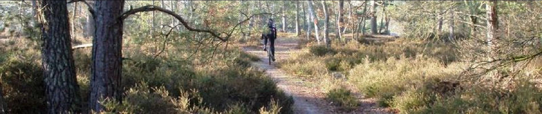
V.T.T.