


18,2 km | 24 km-effort

Utilisateur


Application GPS de randonnée GRATUITE
 SityTrail
IGN / Instituts géographiques
SityTrail World
Le monde est à vous
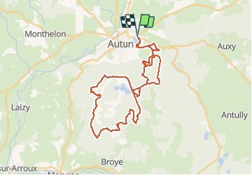
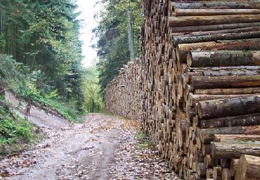
Randonnée V.T.T. de 39 km à découvrir à Bourgogne-Franche-Comté, Saône-et-Loire, Autun. Cette randonnée est proposée par tracegps.
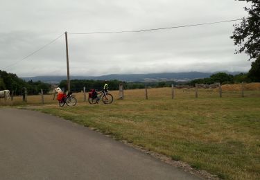
19 Mars 2006 Allez ça roule ! Bordures, on longe le lac puis on oblique à gauche sur la zone en herbe, le genre de truc qui casse bien les guibolles, en plus le terrain est inondé en deux endroits, contournement puis on arrive sur la route, on va en avoir 1,2km. Hop je met les gaz et profite du plat pour remonter un max, puis la petite dénivellation où je passe Mary..... La suite est décrite ICI

Marche
A pied
Cyclotourisme

A pied
Vélo
Vélo
Vélo
V.T.T.

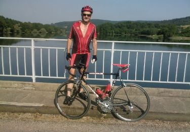
Vélo de route