


10,1 km | 13,3 km-effort


Plus vî, plus sot


Application GPS de randonnée GRATUITE
 SityTrail
IGN / Instituts géographiques
SityTrail World
Le monde est à vous
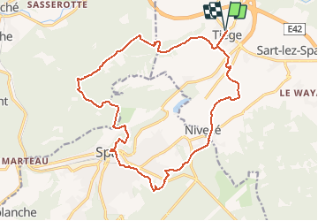
Randonnée V.T.T. de 18,4 km à découvrir à Wallonie, Liège, Jalhay. Cette randonnée est proposée par Yeyette VTT team.
Un peu court, jeune homme. Laurent nous croyait en chaises roulantes, ou quoi ?


Marche

Marche

Marche

Marche
Vélo

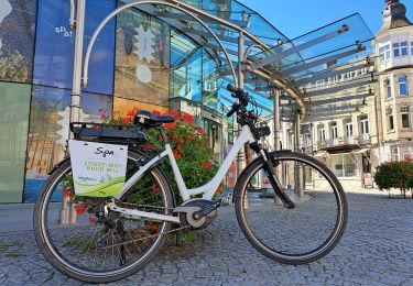
Vélo électrique

Marche

Marche
A pied