


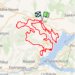

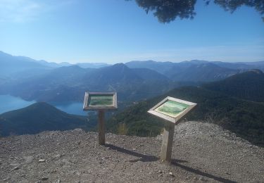
5,9 km | 8,2 km-effort

Utilisateur


Application GPS de randonnée GRATUITE
 SityTrail
IGN / Instituts géographiques
SityTrail World
Le monde est à vous
Randonnée V.T.T. de 60 km à découvrir à Provence-Alpes-Côte d'Azur, Hautes-Alpes, Chorges. Cette randonnée est proposée par tracegps.
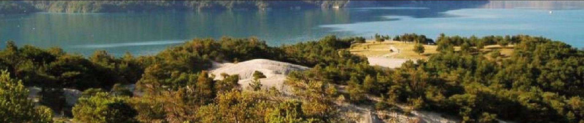
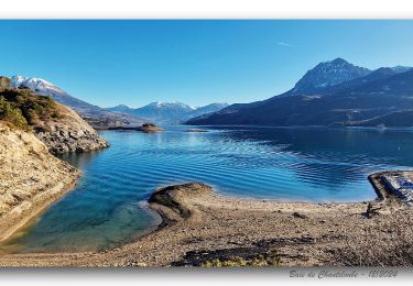
14 Juillet 2004 Nous prenons le départ à 7h41, le GPS prêt à mémoriser un beau parcours. Nous commençons par descendre sur la route sur presque 900m; ça rafraîchît et avec 11°C dehors je supporte bien les manchettes, pour le moment. On passe sous la N94, puis on remonte 200m de petite route avant d'obliquer à droite pour suivre un chemin plat passant sous le Serre de l'Aigle. On descend maintenant, non loin de Mamiellon, pour rejoindre une petite route qui passe au dessus de la voie ferrée, en montant moyennement sur un kilomètre. Je reconnais l'endroit, on y était déjà passé l'an dernier. On dépasse quelques vététistes qui papotent en roulant. Au kilomètre 3,5 on délaisse le goudron au profit d'un chemin; c'est une montée régulière sur une large piste durant un peu plus de 2km. Mary y roule bon train, un peu trop à mon goût car je ne suis pas encore assez échauffé (connaissant le type de parcours, je me demande si elle compte mener ce rythme tout le temps, au risque de terminer la langue au sol), boostée par la présence d'un trio de mollets masculins affûtés qui devise tout en roulant rapidement. La Bikette aime bien dépasser les gars en montée. La suite ICI


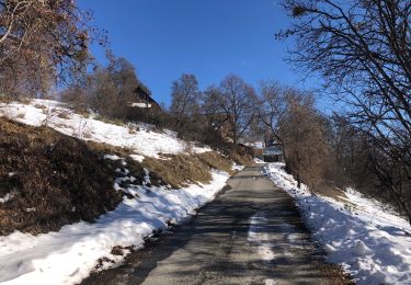
Marche

Marche

Marche

Marche
Marche
Marche
Marche
Randonnée équestre
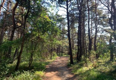
Marche