


12,1 km | 17,3 km-effort


Utilisateur


Application GPS de randonnée GRATUITE
 SityTrail
IGN / Instituts géographiques
SityTrail World
Le monde est à vous
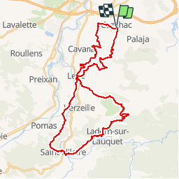
Randonnée V.T.T. de 43 km à découvrir à Occitanie, Aude, Cazilhac. Cette randonnée est proposée par tracegps.
18 Sept 2005 Ca fait un bail que j'entends parler de la Birado. Cette randonnée au Départ de Cazilhac, dans l'Aude aux portes de la cité de Carcassonne, propose cette année 4 parcours : 12/20/45/80 kms. Premier dilemne 45kms/1200m ou 80kms/2100m ? Que la marge est importante... La suite est ICI
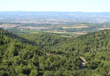
 - Photo 1")
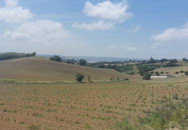
 - Photo 2")
Marche

Marche

Marche

Marche

Marche
Marche

Marche