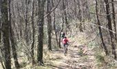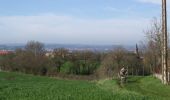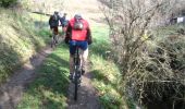

Le long du Tarn vers Arthes

tracegps
Utilisateur

Longueur
31 km

Altitude max
372 m

Dénivelé positif
635 m

Km-Effort
40 km

Altitude min
169 m

Dénivelé négatif
631 m
Boucle
Oui
Date de création :
2014-12-10 00:00:00.0
Dernière modification :
2014-12-10 00:00:00.0
2h30
Difficulté : Très difficile

Application GPS de randonnée GRATUITE
À propos
Randonnée V.T.T. de 31 km à découvrir à Occitanie, Tarn, Arthès. Cette randonnée est proposée par tracegps.
Description
Après 10km d'échauffement en VTT pour venir d'Albi, JF, Rémi, François et moi même retrouvons Rowel, Laurence, Lor, Bender, Patrice et Patrick sur le parking au niveau du Saut du Tarn. La suite est ICI
Localisation
Pays :
France
Région :
Occitanie
Département/Province :
Tarn
Commune :
Arthès
Localité :
Unknown
Départ:(Dec)
Départ:(UTM)
437408 ; 4867031 (31T) N.
Commentaires
Randonnées à proximité
Peygues depuis le pont des Corbières


Marche
Moyen
Crespinet,
Occitanie,
Tarn,
France

9,6 km | 14 km-effort
3h 4min
Oui
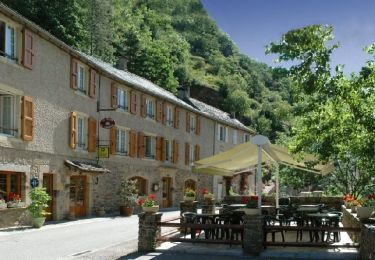
Brousse le Chateau


Moto-cross
Facile
Albi,
Occitanie,
Tarn,
France

194 km | 243 km-effort
4h 39min
Non
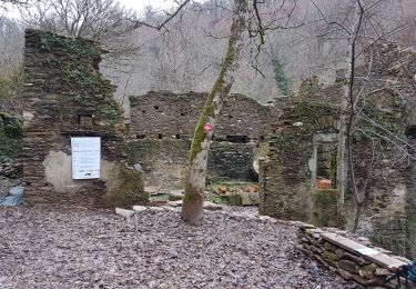

81_saint_gregoire_longue_2025


Marche
Très difficile
Saint-Grégoire,
Occitanie,
Tarn,
France

15,1 km | 20 km-effort
4h 34min
Oui

Cambonnaise route 2024


Vélo de route
Très difficile
Cambon,
Occitanie,
Tarn,
France

91 km | 110 km-effort
6h 41min
Oui

81_Saint Gregoire longue


Marche
Moyen
Saint-Grégoire,
Occitanie,
Tarn,
France

15,9 km | 21 km-effort
4h 6min
Oui

81_Saint_Juery_long


Marche
Facile
Saint-Juéry,
Occitanie,
Tarn,
France

17,7 km | 23 km-effort
2h 25min
Oui

81_Saint Gregoire_projet_15 km


Marche
Moyen
Saint-Grégoire,
Occitanie,
Tarn,
France

15,4 km | 20 km-effort
2h 57min
Oui

L'Albigeoise Calmejane 2020 95KM


Vélo de route
Très difficile
Albi,
Occitanie,
Tarn,
France

87 km | 108 km-effort
6h 13min
Oui


 SityTrail


