


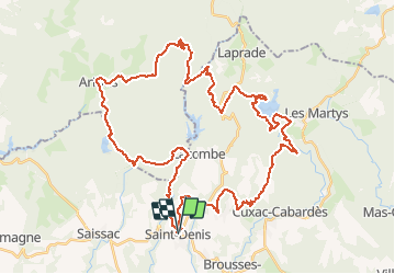

22 km | 29 km-effort

Utilisateur


Application GPS de randonnée GRATUITE
 SityTrail
IGN / Instituts géographiques
SityTrail World
Le monde est à vous
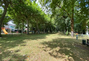
Randonnée V.T.T. de 54 km à découvrir à Occitanie, Aude, Saint-Denis. Cette randonnée est proposée par tracegps.
23 Juillet 2006 St-Denis, en montagne noire, est une destination de rando des plus alléchantes par ces temps de canicule... D'autant que pour y avoir posé les roues à l'édition 2005, j'avais vraiment apprécié le parcours, ombragé, bien physique avec ses descentes joueuses rarement piégeuses... La suite est ICI


Marche

Marche
Marche
Marche
Marche
Marche
Cheval

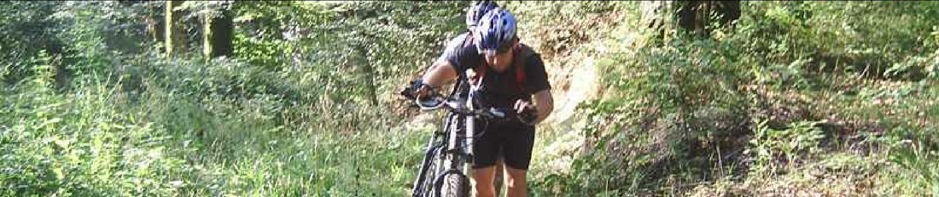
V.T.T.