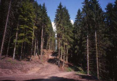
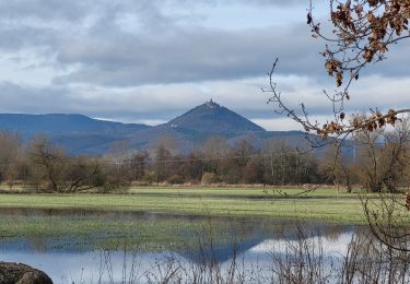
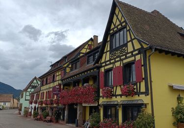
Randonnée V.T.T. Châtenois - Châtenois: Haut mon Château - Photo

Châtenois: Haut mon Château

 tracegps
tracegps

Utilisateur

© OpenStreetMap contributors
Longueur
Longueur
17,3 km
Altitude max
Altitude max
727 m
Dénivelé positif
Dénivelé positif
784 m
Km-Effort
Km-Effort  
28 km
Altitude min
Altitude min
188 m
Dénivelé négatif
Dénivelé négatif
784 m
Boucle
Boucle
Oui
Date de création :
2014-12-10 00:00:00.0
Dernière modification :
2014-12-10 00:00:00.0

(0 Avis)

V.T.T.
V.T.T.
3h00
Difficulté : Très difficile

Scannez ce code QR pour ouvrir la randonnée dans l'application SityTrail

Application GPS de randonnée GRATUITE

Logo SityTrail SityTrail

IGN / Instituts géographiques

Télécharger SityTrail sur l'App Store Télécharger SityTrail sur Google Play

Logo SityTrail SityTrail World

Le monde est à vous

Télécharger SityTrail sur l'App Store Télécharger SityTrail sur Google Play Télécharger SityTrail sur Huawei AppGallery

À propos

Randonnée V.T.T. de 17,3 km à découvrir à Grand Est, Bas-Rhin, Châtenois. Cette randonnée est proposée par tracegps.

Description

Au départ du terrain de foot longer les vignes par le chemin marqué rond bleu en direction de Kintzheim. Prendre croix bleue pour rejoindre Orschwiller. A la sortie de Orschwiller, au niveau de l'église monter des escaliers et suivre le rond rouge, puis la direction du Rocher de la Justice. De là le sentier rectangle rouge-blanc-rouge monte vers la route qui mène au Haut Koenigsbourg. Depuis ce carrefour, monter les escaliers à gauche du restaurant et suivre le rectangle rouge qui monte au Haut Koenigsbourg. Du Château partir en direction du Schaflager rectangle rouge blanc rouge. Poursuivre vers le Kreuzweg, puis vers la Montagne des Singes par le rond bleu. Le parcours monte ensuite au Hahnenberg par la croix rouge et descend à Châtenois en suivant la croix rouge.

Profil altimétrique

Photos

Localisation

Pays :
France
Région :
Grand Est
Département/Province :
Bas-Rhin
Commune :
Châtenois
Localité :
Unknown
Départ:(Dec)
Départ:(UTM)
381056 ; 5348086 (32U) N.

Randonnées à proximité

Randonnée Marche Châtenois - Le Hahnenberg et les balcons Sélestat - Photo
Marche
VacheKiri67

Marche

Moyen
(2)
Châtenois, Grand Est, Bas-Rhin, France
12 km | 17,2 km-effort
4h 29min
Oui
Randonnée Marche Scherwiller - chateau  de ortenbourg - Photo
Marche
GUIDE
dudu42

Marche

Très facile
(1)
Scherwiller, Grand Est, Bas-Rhin, France
4,6 km | 7,9 km-effort
1h 29min
Oui
Randonnée Marche Sélestat - Sentier de l'Illwald - Photo
Marche
tracegps

Marche

Moyen
(1)
Sélestat, Grand Est, Bas-Rhin, France
13,2 km | 14,6 km-effort
3h 45min
Oui
Randonnée Marche Châtenois - Le Haut Koenigsbourg de Val de Ville - Photo
Marche
tracegps

Marche

Difficile
(1)
Châtenois, Grand Est, Bas-Rhin, France
16,8 km | 25 km-effort
5h 0min
Oui
Randonnée Marche Kintzheim - 2023-10-15 Marche Haut Koenigsbourg - Photo
Marche
GUIDE
holtzv

Marche

Moyen
Kintzheim, Grand Est, Bas-Rhin, France
18,5 km | 28 km-effort
6h 16min
Oui
Randonnée Marche Saint-Hippolyte - St hippolyte ht koenigsbourg - Photo
Marche
legereric

Marche

Moyen
(2)
Saint-Hippolyte, Grand Est, Haut-Rhin, France
12 km | 18,7 km-effort
3h 27min
Oui
Randonnée Marche Saint-Hippolyte - St-Hippolyte - Rorschwihr - Grasberg - Bergheim - Reichenberg - Rodern - Photo
Marche
VacheKiri67

Marche

Moyen
Saint-Hippolyte, Grand Est, Haut-Rhin, France
17,3 km | 22 km-effort
4h 28min
Oui
Randonnée Marche Sélestat - Sélestat : balade dans le Ried - Photo
Marche
Bart2015

Marche

Difficile
Sélestat, Grand Est, Bas-Rhin, France
11,4 km | 12,6 km-effort
2h 51min
Oui
Randonnée Vélo électrique Sélestat - Vignoble  - Photo
Vélo électrique
apa

Vélo électrique

Très facile
Sélestat, Grand Est, Bas-Rhin, France
50 km | 57 km-effort
3h 4min
Non


Fermer
Mes abonnements