


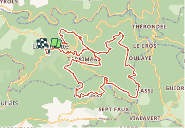

11,9 km | 15,5 km-effort


Utilisateur


Application GPS de randonnée GRATUITE
 SityTrail
IGN / Instituts géographiques
SityTrail World
Le monde est à vous
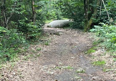
Randonnée V.T.T. de 29 km à découvrir à Occitanie, Tarn, Lacrouzette. Cette randonnée est proposée par tracegps.
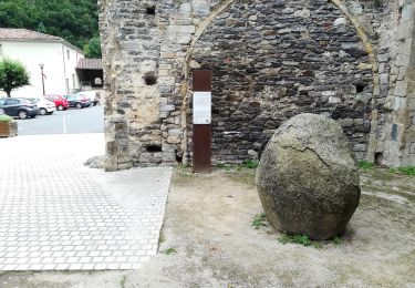
L'édition 2005 se révèle comme une superbe manifestation au coeur des bois du Sidobre en plein mois de novembre. Nombreux rochers granitiques, massifs forestiers, on roule au milieu des rochers avant de redescendre vers Lacrouzette. Une réussite !

Marche

Marche

A pied

V.T.T.
V.T.T.
A pied
Marche
Marche
genial et tres variés