
La Ronde des Rochers 2005

tracegps
Utilisateur

Longueur
29 km

Altitude max
707 m

Dénivelé positif
760 m

Km-Effort
40 km

Altitude min
479 m

Dénivelé négatif
760 m
Boucle
Oui
Date de création :
2014-12-10 00:00:00.0
Dernière modification :
2014-12-10 00:00:00.0
2h30
Difficulté : Très difficile

Application GPS de randonnée GRATUITE
À propos
Randonnée V.T.T. de 29 km à découvrir à Occitanie, Tarn, Lacrouzette. Cette randonnée est proposée par tracegps.
Description
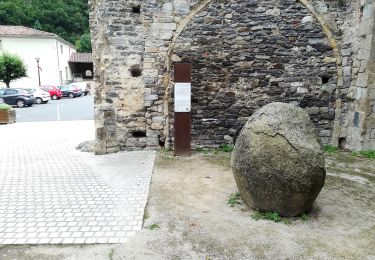
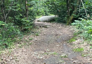
L'édition 2005 se révèle comme une superbe manifestation au coeur des bois du Sidobre en plein mois de novembre. Nombreux rochers granitiques, massifs forestiers, on roule au milieu des rochers avant de redescendre vers Lacrouzette. Une réussite !
Localisation
Pays :
France
Région :
Occitanie
Département/Province :
Tarn
Commune :
Lacrouzette
Localité :
Unknown
Départ:(Dec)
Départ:(UTM)
447317 ; 4834296 (31T) N.
Commentaires
Randonnées à proximité

les rochers de sidobre


Marche
Très facile
(1)
Lacrouzette,
Occitanie,
Tarn,
France

11,9 km | 15,5 km-effort
3h 31min
Oui

Sidobre rocs de crémaussel et Lac du Merle 16 kms


Marche
Très difficile
(1)
Lacrouzette,
Occitanie,
Tarn,
France

15,6 km | 21 km-effort
4h 39min
Oui

les rochers du sidobre


A pied
Très facile
(1)
Lacrouzette,
Occitanie,
Tarn,
France

11,2 km | 15,2 km-effort
Inconnu
Oui

Lacrouzette VTT 2016


V.T.T.
Facile
(3)
Lacrouzette,
Occitanie,
Tarn,
France

32 km | 41 km-effort
2h 36min
Oui

Ronde des rochers 2008


V.T.T.
Moyen
(1)
Lacrouzette,
Occitanie,
Tarn,
France

30 km | 39 km-effort
2h 15min
Oui

Chemin des Fontaines


A pied
Facile
Burlats,
Occitanie,
Tarn,
France

7,3 km | 8,5 km-effort
1h 55min
Non

Burlats cascade de la truite


Marche
Moyen
Burlats,
Occitanie,
Tarn,
France

19,3 km | 30 km-effort
5h 22min
Non

billets l'Agout 18kms 577m 4h30


Marche
Facile
Burlats,
Occitanie,
Tarn,
France

18,2 km | 25 km-effort
4h 44min
Oui


 SityTrail


genial et tres variés