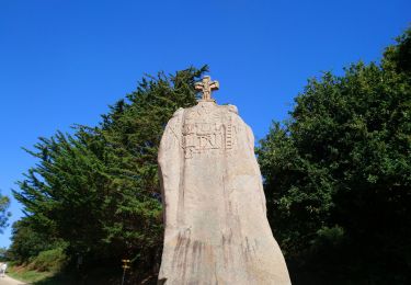
Randonnée Marche Trégastel - Valee du traouiero - Photo
 olibreizh
olibreizh

Utilisateur

© OpenStreetMap contributors
Longueur
Longueur
8,1 km
Altitude max
Altitude max
67 m
Dénivelé positif
Dénivelé positif
101 m
Km-Effort
Km-Effort  
9,5 km
Altitude min
Altitude min
0 m
Dénivelé négatif
Dénivelé négatif
100 m
Boucle
Boucle
Oui
Date de création :
2019-01-15 13:12:49.686
Dernière modification :
2019-01-15 13:12:49.686

(0 Avis)

Marche
Marche
2h04
Difficulté : Facile

Scannez ce code QR pour ouvrir la randonnée dans l'application SityTrail

Application GPS de randonnée GRATUITE

Logo SityTrail SityTrail

IGN / Instituts géographiques

Télécharger SityTrail sur l'App Store Télécharger SityTrail sur Google Play

Logo SityTrail SityTrail World

Le monde est à vous

Télécharger SityTrail sur l'App Store Télécharger SityTrail sur Google Play Télécharger SityTrail sur Huawei AppGallery

À propos

Randonnée Marche de 8,1 km à découvrir à Bretagne, Côtes-d'Armor, Trégastel. Cette randonnée est proposée par olibreizh.

Description

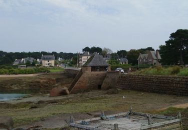
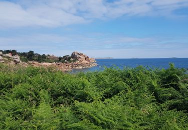
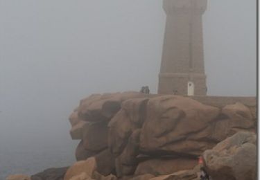
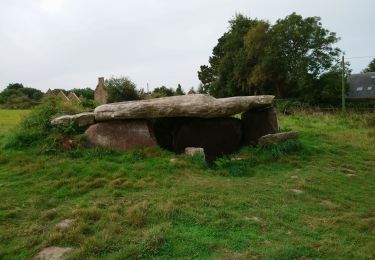
En partant de Trégastel, cette promenade fait le tour du magnifique chaos rocheux de la vallée des Traouïero.

Profil altimétrique

Photos

Points d'intérêt

Point d'intérêt Trégastel - Point 8 - Photo
olibreizh
TRÉGASTEL 

Localisation

Pays :
France
Région :
Bretagne
Département/Province :
Côtes-d'Armor
Commune :
Trégastel
Localité :
Unknown
Départ:(Dec)
Départ:(UTM)
463942 ; 5408229 (30U) N.

Randonnées à proximité

Randonnée Marche Perros-Guirec - Perros-Guirec - GR34 - 11.1km 185m 2h50 - 2023 09 08 - Photo
Marche
GUIDE
Orcal37

Marche

Moyen
(1)
Perros-Guirec, Bretagne, Côtes-d'Armor, France
11,1 km | 13,6 km-effort
2h 50min
Oui
Randonnée Marche Trégastel - Trégastel - GR34 Île Renote Moulin à marée Chapelle de Gorgon - 13.8km 100m 3h35 - 2023 09 07 - Photo
Marche
GUIDE
Orcal37

Marche

Difficile
(2)
Trégastel, Bretagne, Côtes-d'Armor, France
13,8 km | 15,1 km-effort
3h 35min
Oui
Randonnée Marche Perros-Guirec - la côte de granit rose à Ploumanach - Photo
Marche
GUIDE
amiral13

Marche

Très facile
(2)
Perros-Guirec, Bretagne, Côtes-d'Armor, France
6 km | 6,9 km-effort
2h 38min
Oui
Randonnée Marche Perros-Guirec - Les sentiers de Ploumanac'h - Photo
Marche
tracegps

Marche

Moyen
(2)
Perros-Guirec, Bretagne, Côtes-d'Armor, France
10,3 km | 12 km-effort
3h 0min
Oui
Randonnée Marche Louannec - Louannec - GR34 PR - 11.5km 185m 3h00 (40mn) - 2023 09 14 - Photo
Marche
GUIDE
Orcal37

Marche

Difficile
Louannec, Bretagne, Côtes-d'Armor, France
11,5 km | 13,9 km-effort
3h 0min
Oui
Randonnée Marche Trégastel - Trégastel - GR34 Ploumanac'h Kasino de Perros-Guirec - 11.7km 200m 2h55 (50mn) - 2023 09 08 - Photo
Marche
GUIDE
Orcal37

Marche

Moyen
Trégastel, Bretagne, Côtes-d'Armor, France
11,7 km | 14,4 km-effort
2h 55min
Oui
Randonnée Marche Pleumeur-Bodou - Pleumeur-Bodou - GR34 Presqu'île de Landrellec - 11km 90m 2h40 (55mn) - 2023 09 07 - Photo
Marche
GUIDE
Orcal37

Marche

Moyen
Pleumeur-Bodou, Bretagne, Côtes-d'Armor, France
11 km | 12,2 km-effort
2h 40min
Oui
Randonnée Marche Pleumeur-Bodou - Pleumeur-Bodou - GR34 Chapelle Saint-Samson - 7.7km 60m 1h55 - 2023 09 06 - Photo
Marche
GUIDE
Orcal37

Marche

Moyen
Pleumeur-Bodou, Bretagne, Côtes-d'Armor, France
7,7 km | 8,5 km-effort
1h 55min
Oui
Randonnée Marche Pleumeur-Bodou - Pleumeur-Bodou - GR34 Menhir de Saint-Uzec Chapelle de Penvern - 5.6km 60m 1h20 (40mn) - 2023 09 06 - Photo
Marche
GUIDE
Orcal37

Marche

Facile
Pleumeur-Bodou, Bretagne, Côtes-d'Armor, France
5,6 km | 6,4 km-effort
1h 20min
Oui


Fermer
Mes abonnements