![](/images/other/stat-length.png)
![Randonnée Marche Prags - Braies - Pragser Wildsee - Photo](https://media.geolcdn.com/t/1900/400/ext.pjpeg?maxdim=2&url=https%3A%2F%2Fservices.sitytrail.com%2FGeolivesWS%2FDownloadMedia.ashx%3FTrailID%3D1005822%26Media%3Dfix__20180716140220.jpg)
Pragser Wildsee
VacheKiri67
Utilisateur
![Longueur](/images/other/stat-length.png)
Longueur
15,3 km
![Altitude max](https://static1.geolcdn.com/siteimages/upload/files/1508320355ic_sort_altitude_max_24dp.png)
Altitude max
1591 m
![Dénivelé positif](https://static1.geolcdn.com/siteimages/upload/files/1508320355ic_sort_den_pos_24dp.png)
Dénivelé positif
471 m
![Km-Effort](/images/other/stat-length.png)
Km-Effort
22 km
![Altitude min](https://static1.geolcdn.com/siteimages/upload/files/1508320355ic_sort_altitude_min_24dp.png)
Altitude min
1209 m
![Dénivelé négatif](https://static1.geolcdn.com/siteimages/upload/files/1508320355ic_sort_den_neg_24dp.png)
Dénivelé négatif
465 m
![Boucle](https://static1.geolcdn.com/siteimages/upload/files/16400158638029165_repeat_loop_refresh_sync_direction_icon.png)
Boucle
Oui
Date de création :
2018-07-27 13:29:02.697
Dernière modification :
2018-07-27 13:29:02.815
![Marche](https://static1.geolcdn.com/sitytour/trail-icons/101.png)
4h36
Difficulté : Moyen
![Scannez ce code QR pour ouvrir la randonnée dans l'application SityTrail](https://capi.geolives.com/qq0zvz2zws4bq2lad0pu/sitytour/trails/1005822/qr.png?size=200)
Application GPS de randonnée GRATUITE
À propos
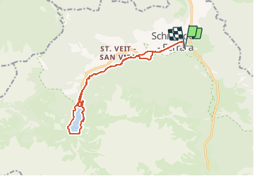
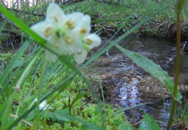
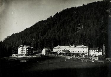
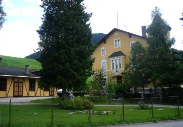
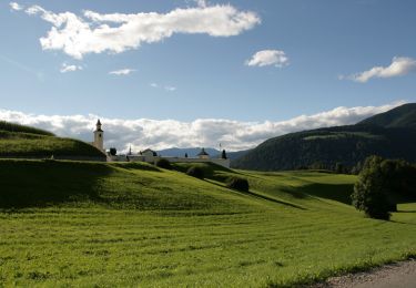
Randonnée Marche de 15,3 km à découvrir à Trentin-Haut-Adige, Haut-Adige, Prags - Braies. Cette randonnée est proposée par VacheKiri67.
Description
Faite le 16/07/2018 avec notre fils Théo de 13 ans. D'après "Seerunde am Pragser Wildsee" du site www.sentres.com.
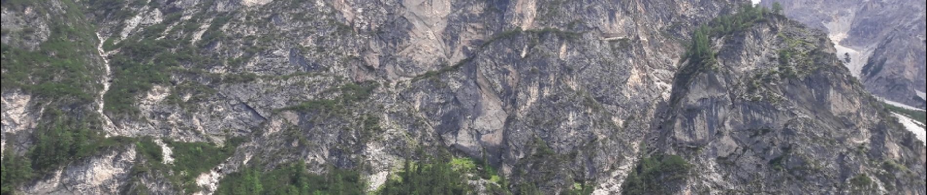
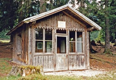
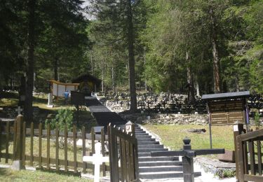
Localisation
Pays :
Italie
Région :
Trentin-Haut-Adige
Département/Province :
Haut-Adige
Commune :
Prags - Braies
Localité :
Unknown
Départ:(Dec)
Départ:(UTM)
281232 ; 5177809 (33T) N.
Commentaires
Randonnées à proximité
![Randonnée A pied Niederdorf - Villabassa - IT-27A - Photo](https://media.geolcdn.com/t/375/260/05459338-4853-45a9-ae34-d68b2fcea425.jpeg&format=jpg&maxdim=2)
![A pied A pied](https://static1.geolcdn.com/sitytour/trail-icons/100.png)
IT-27A
A pied
Facile
Niederdorf - Villabassa,
Trentin-Haut-Adige,
Haut-Adige,
Italie
![](/images/other/stat-length.png)
4,8 km | 8,1 km-effort
1h 50min
![](https://static1.geolcdn.com/siteimages/upload/files/16400158638029165_repeat_loop_refresh_sync_direction_icon.png)
Non
![Randonnée A pied Niederdorf - Villabassa - IT-33 - Photo](https://media.geolcdn.com/t/375/260/eff9106f-eb32-4ecc-b4cb-109d54866e3f.jpeg&format=jpg&maxdim=2)
![A pied A pied](https://static1.geolcdn.com/sitytour/trail-icons/100.png)
IT-33
A pied
Facile
Niederdorf - Villabassa,
Trentin-Haut-Adige,
Haut-Adige,
Italie
![](/images/other/stat-length.png)
6,8 km | 11,3 km-effort
2h 33min
![](https://static1.geolcdn.com/siteimages/upload/files/16400158638029165_repeat_loop_refresh_sync_direction_icon.png)
Non
![Randonnée A pied Niederdorf - Villabassa - IT-16 - Photo](https://media.geolcdn.com/t/375/260/a226ae1a-d230-4e0e-8faa-453317e374d2.jpeg&format=jpg&maxdim=2)
![A pied A pied](https://static1.geolcdn.com/sitytour/trail-icons/100.png)
IT-16
A pied
Facile
Niederdorf - Villabassa,
Trentin-Haut-Adige,
Haut-Adige,
Italie
![](/images/other/stat-length.png)
4,6 km | 9,7 km-effort
2h 12min
![](https://static1.geolcdn.com/siteimages/upload/files/16400158638029165_repeat_loop_refresh_sync_direction_icon.png)
Non
![Randonnée A pied Prags - Braies - IT-15A - Photo](https://media.geolcdn.com/t/375/260/59c6f0d9-1e3f-46b8-84cb-dbdb07bfa458.jpeg&format=jpg&maxdim=2)
![A pied A pied](https://static1.geolcdn.com/sitytour/trail-icons/100.png)
IT-15A
A pied
Facile
Prags - Braies,
Trentin-Haut-Adige,
Haut-Adige,
Italie
![](/images/other/stat-length.png)
3,1 km | 8,8 km-effort
2h 0min
![](https://static1.geolcdn.com/siteimages/upload/files/16400158638029165_repeat_loop_refresh_sync_direction_icon.png)
Non
![Randonnée A pied Toblach - Dobbiaco - IT-14 - Photo](https://media.geolcdn.com/t/375/260/293539e0-b295-4d50-bed9-482fd39c8c6a.jpeg&format=jpg&maxdim=2)
![A pied A pied](https://static1.geolcdn.com/sitytour/trail-icons/100.png)
IT-14
A pied
Facile
Toblach - Dobbiaco,
Trentin-Haut-Adige,
Haut-Adige,
Italie
![](/images/other/stat-length.png)
4,8 km | 7,5 km-effort
1h 42min
![](https://static1.geolcdn.com/siteimages/upload/files/16400158638029165_repeat_loop_refresh_sync_direction_icon.png)
Non
![Randonnée A pied Toblach - Dobbiaco - IT-40A - Photo](https://media.geolcdn.com/t/375/260/43891ad3-3705-4ecf-8800-9567e8294419.jpeg&format=jpg&maxdim=2)
![A pied A pied](https://static1.geolcdn.com/sitytour/trail-icons/100.png)
IT-40A
A pied
Facile
Toblach - Dobbiaco,
Trentin-Haut-Adige,
Haut-Adige,
Italie
![](/images/other/stat-length.png)
6,3 km | 11,1 km-effort
2h 31min
![](https://static1.geolcdn.com/siteimages/upload/files/16400158638029165_repeat_loop_refresh_sync_direction_icon.png)
Non
![Randonnée A pied Prags - Braies - IT-35 - Photo](https://media.geolcdn.com/t/375/260/e8729148-44fd-4cd4-b5f4-c1bbe34741c1.jpeg&format=jpg&maxdim=2)
![A pied A pied](https://static1.geolcdn.com/sitytour/trail-icons/100.png)
IT-35
A pied
Facile
Prags - Braies,
Trentin-Haut-Adige,
Haut-Adige,
Italie
![](/images/other/stat-length.png)
4,9 km | 8,6 km-effort
1h 56min
![](https://static1.geolcdn.com/siteimages/upload/files/16400158638029165_repeat_loop_refresh_sync_direction_icon.png)
Non
![Randonnée A pied Prags - Braies - IT-20 - Photo](https://media.geolcdn.com/t/375/260/b85fae7d-452c-4b03-aa54-fb7126e06097.jpeg&format=jpg&maxdim=2)
![A pied A pied](https://static1.geolcdn.com/sitytour/trail-icons/100.png)
IT-20
A pied
Moyen
Prags - Braies,
Trentin-Haut-Adige,
Haut-Adige,
Italie
![](/images/other/stat-length.png)
11,7 km | 22 km-effort
4h 53min
![](https://static1.geolcdn.com/siteimages/upload/files/16400158638029165_repeat_loop_refresh_sync_direction_icon.png)
Non
![Randonnée A pied Prags - Braies - IT-1 - Photo](https://media.geolcdn.com/t/375/260/cbdb47a0-3b81-42fa-a6e2-f2c0d03399a9.jpeg&format=jpg&maxdim=2)
![A pied A pied](https://static1.geolcdn.com/sitytour/trail-icons/100.png)
IT-1
A pied
Facile
Prags - Braies,
Trentin-Haut-Adige,
Haut-Adige,
Italie
![](/images/other/stat-length.png)
8,4 km | 19,2 km-effort
4h 21min
![](https://static1.geolcdn.com/siteimages/upload/files/16400158638029165_repeat_loop_refresh_sync_direction_icon.png)
Non