


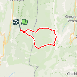


24 km | 33 km-effort

Utilisateur


Application GPS de randonnée GRATUITE
 SityTrail
IGN / Instituts géographiques
SityTrail World
Le monde est à vous
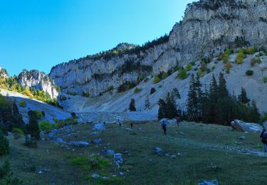
Randonnée Marche de 21 km à découvrir à Auvergne-Rhône-Alpes, Drôme, Saint-Agnan-en-Vercors. Cette randonnée est proposée par choubaka77.
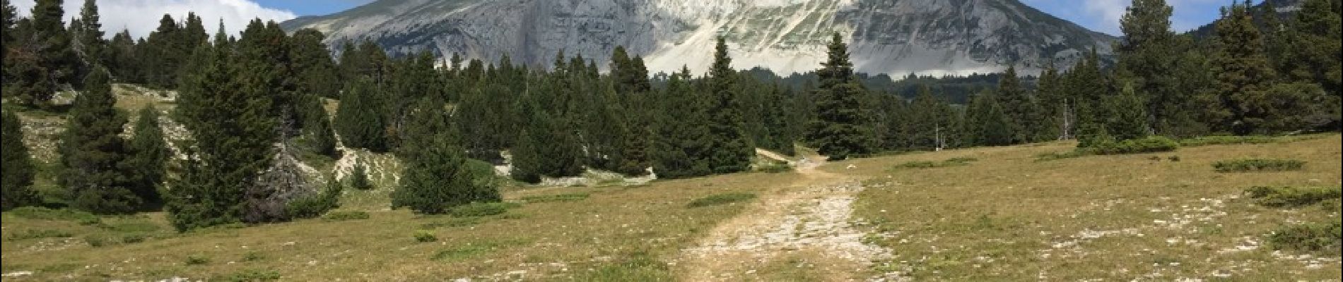
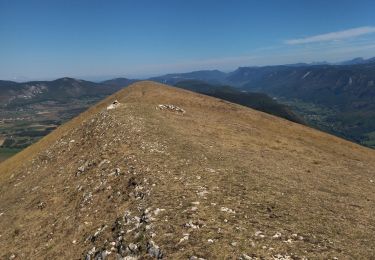
Superbe rando. Attention 6h sans les pauses. Une ascension physique mais sans difficulté majeure, attention, une descente rapide dans un première temps puis un long chemin très roulant pour le retour.


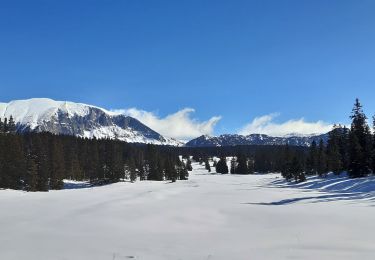
23 photos au total. Cliquez sur une photo pour les afficher toutes dans la galerie.

Marche

Marche

Marche

Marche

Raquettes à neige
Marche
Marche
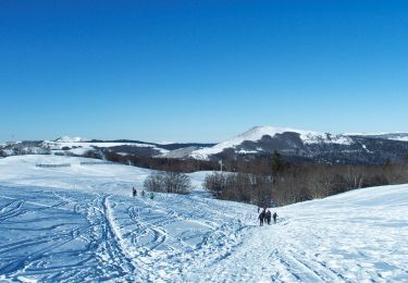
Raquettes à neige
Marche