Point d'intérêt Saint-Léger - Les Sources du Ton - Photo

Les Sources du Ton

Description

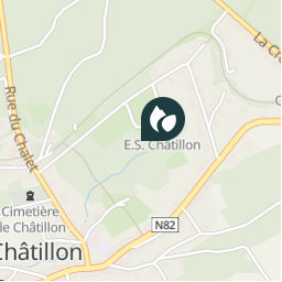
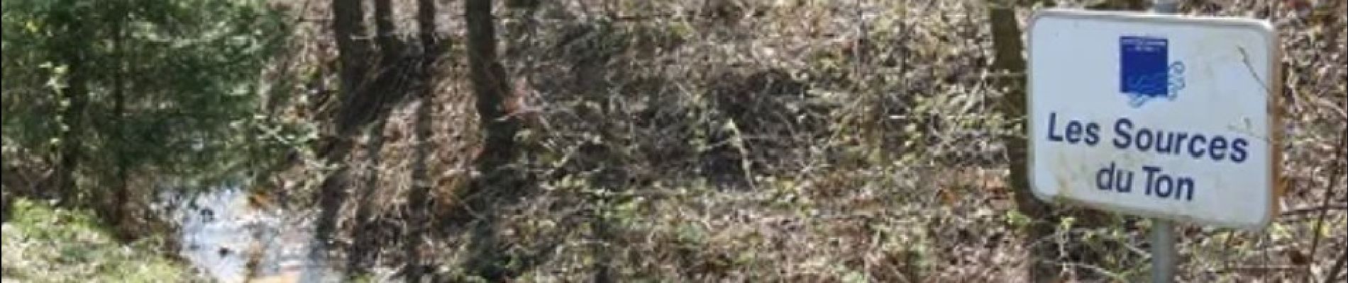
La rivière - le Ton - prend sa source ici à Châtillon.
Le Ton parcourt 31,7 km en Gaume pour aller se jeter dans la Chiers peu après Écouviez à la frontière franco-belge.

Ref.
- https://fr.wikipedia.org/wiki/Ton_(rivière_belge)
- https://www.visitgaume.be/se-balader-a-pied/LOD-01-0AVJ-32HQ&type=11/
- https://www.gites-saint-leger.be/copie-de-nature
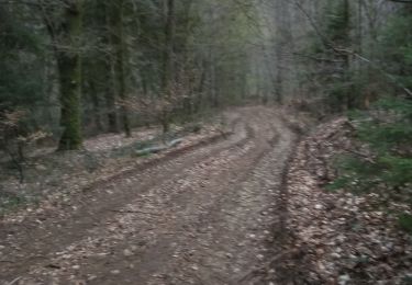
Photos

Les Sources du Ton est à découvir dans les randonnées suivantes...
Randonnée V.T.T. Virton - Aux sources du Ton  -  Balade_VTT_35kms - Photo
V.T.T.
Pascal L

V.T.T.

Moyen
Virton, Wallonie, Luxembourg, Belgique
35 km | 44 km-effort
3h 0min
Oui
 Pascal L
Pascal L

Utilisateur

© OpenStreetMap contributors

Localisation

Pays :
Belgique
Région :
Wallonie
Département/Province :
Luxembourg
Commune :
Saint-Léger
Localité :
Unknown
Date de création :
2022-11-06 17:32:07.768
Dernière modification
2022-11-07 20:43:24.042

(0 Avis)

Points d'intérêt naturels

Points d'intérêt à proximité

Point d'intérêt Saint-Léger - GR129-S-056 - Photo
leon40
SAINT-LÉGER 
Point d'intérêt Saint-Léger - calvaire - Photo
GR Rando
SAINT-LÉGER 
Point d'intérêt Saint-Léger - calvaire - Photo
GR Rando
SAINT-LÉGER 
Point d'intérêt Saint-Léger - calvaire - Photo
GR Rando
SAINT-LÉGER 
Point d'intérêt Saint-Léger - calvaire - Photo
GR Rando
SAINT-LÉGER 
Point d'intérêt Saint-Léger - calvaire - Photo
GR Rando
SAINT-LÉGER 
Point d'intérêt Saint-Léger - calvaire - Photo
GR Rando
SAINT-LÉGER 
Point d'intérêt Saint-Léger - Lavoir-tunnel de Coquenette - Photo
GR Rando


Fermer
Mes abonnements